MTO3 Montecristo - Earthquake Result Viewer
Earthquake location: Jujuy Province, Argentina
Earthquake latitude/longitude: -23.8/-66.6
Earthquake time(UTC): 2015/09/28 (271) 15:28:05 GMT
Earthquake Depth: 219 km
Earthquake Magnitude: 5.9 MWW, 6.0 MWB, 6.0 MWC
Earthquake Catalog/Contributor: NEIC PDE/NEIC COMCAT
Network: SV Servicio Nacional de Estudios Territoriales (SNET), El Salvador
Station: MTO3 Montecristo
Lat/Lon: 14.40 N/89.36 W
Elevation: 1830 m
Distance: 44.0 deg
Az: 327.32 deg
Baz: 149.309 deg
Ray Param: 0.071330465
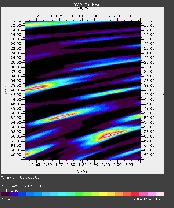
Estimated Moho Depth: 59.0 km
Estimated Crust Vp/Vs: 1.97
Assumed Crust Vp: 6.597 km/s
Estimated Crust Vs: 3.349 km/s
Estimated Crust Poisson's Ratio: 0.33
Radial Match: 85.765785 %
Radial Bump: 400
Transverse Match: 69.20372 %
Transverse Bump: 400
SOD ConfigId: 7422571
Insert Time: 2019-04-21 01:15:25.173 +0000
GWidth: 2.5
Max Bumps: 400
Tol: 0.001

Signal To Noise

ChannelStoNSTALTA
SV:MTO3: :HHZ:20150928T15:35:20.077994Z11.5532799.630538E-78.335762E-8
SV:MTO3: :HHN:20150928T15:35:20.077994Z6.71174054.873075E-77.260523E-8
SV:MTO3: :HHE:20150928T15:35:20.077994Z3.41235952.3391709E-76.854996E-8
Arrivals
Ps9.2 SECOND
PpPs25 SECOND
PsPs/PpSs34 SECOND