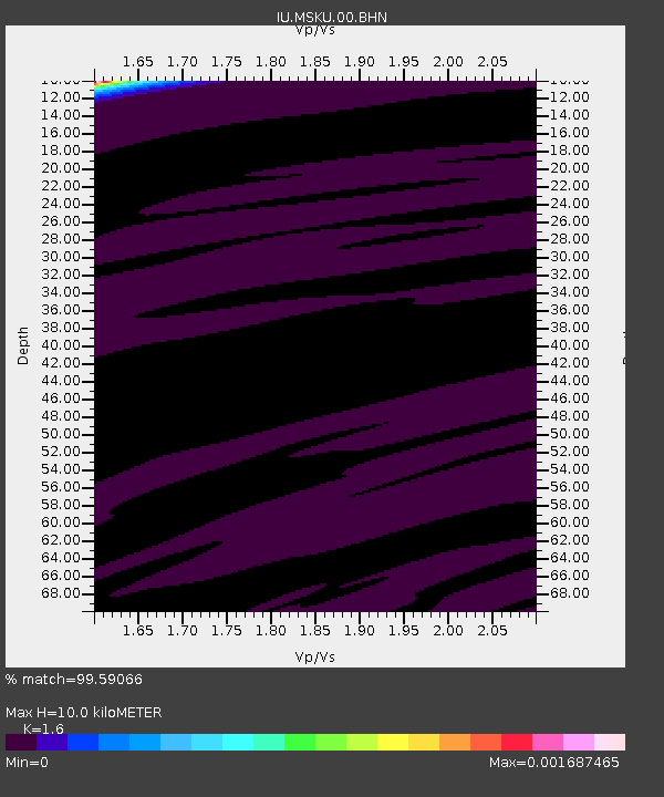
MSKU Masuku, Gabon - Earthquake Result Viewer
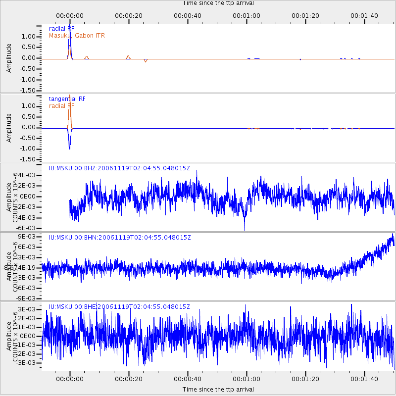
Earthquake location: South Sandwich Islands Region
Earthquake latitude/longitude: -55.6/-24.9
Earthquake time(UTC): 2006/11/19 (323) 01:55:05 GMT
Earthquake Depth: 10 km
Earthquake Magnitude: 5.8 MB, 5.3 MS, 5.7 MW, 5.7 MW
Earthquake Catalog/Contributor: WHDF/NEIC
Network: IU Global Seismograph Network (GSN - IRIS/USGS)
Station: MSKU Masuku, Gabon
Lat/Lon: 1.66 S/13.61 E
Elevation: 312 m
Distance: 62.1 deg
Az: 44.734 deg
Baz: 203.564 deg
Ray Param: 0.060448766
Estimated Moho Depth: 10.0 km
Estimated Crust Vp/Vs: 1.60
Assumed Crust Vp: 6.576 km/s
Estimated Crust Vs: 4.11 km/s
Estimated Crust Poisson's Ratio: 0.18
Radial Match: 99.59066 %
Radial Bump: 29
Transverse Match: 99.36935 %
Transverse Bump: 39
SOD ConfigId: 2564
Insert Time: 2010-03-04 20:55:18.353 +0000
GWidth: 2.5
Max Bumps: 400
Tol: 0.001

Signal To Noise

ChannelStoNSTALTA
IU:MSKU:00:BHN:20061119T02:04:55.048015Z1.00914181.3250224E-91.3130191E-9
IU:MSKU:00:BHE:20061119T02:04:55.048015Z0.99062121.2046423E-91.2160474E-9
IU:MSKU:00:BHZ:20061119T02:04:55.048015Z1.02429251.5371239E-91.5006688E-9
Arrivals
Ps1.0 SECOND
PpPs3.8 SECOND
PsPs/PpSs4.7 SECOND