MANEM Manem, Tajikistan - Earthquake Result Viewer
Earthquake location: Nicobar Islands, India Region
Earthquake latitude/longitude: 6.9/94.5
Earthquake time(UTC): 2015/11/08 (312) 10:42:01 GMT
Earthquake Depth: 8.0 km
Earthquake Magnitude: 5.5 MWW, 5.4 MWB, 5.6 MWC
Earthquake Catalog/Contributor: NEIC PDE/NEIC COMCAT
Network: TJ Tajikistan National Seismic Network
Station: MANEM Manem, Tajikistan
Lat/Lon: 37.53 N/71.66 E
Elevation: 2312 m
Distance: 36.9 deg
Az: 329.03 deg
Baz: 140.008 deg
Ray Param: 0.07641854
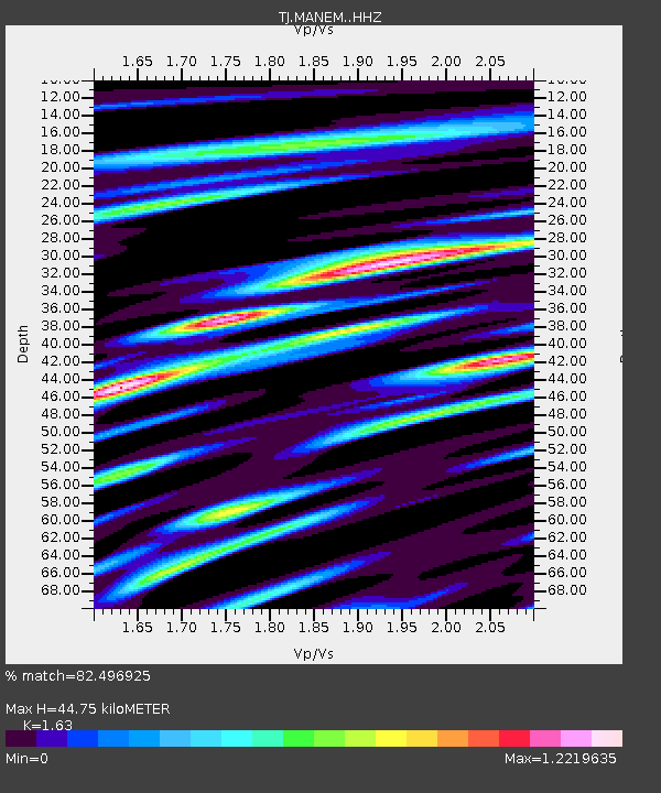
Estimated Moho Depth: 44.75 km
Estimated Crust Vp/Vs: 1.63
Assumed Crust Vp: 6.306 km/s
Estimated Crust Vs: 3.869 km/s
Estimated Crust Poisson's Ratio: 0.20
Radial Match: 82.496925 %
Radial Bump: 400
Transverse Match: 76.47052 %
Transverse Bump: 400
SOD ConfigId: 7422571
Insert Time: 2019-04-21 07:09:05.851 +0000
GWidth: 2.5
Max Bumps: 400
Tol: 0.001

Signal To Noise

ChannelStoNSTALTA
TJ:MANEM: :HHZ:20151108T10:48:40.070011Z7.73541647.3577905E-79.5118224E-8
TJ:MANEM: :HHN:20151108T10:48:40.070011Z2.4416382.5990985E-71.06448965E-7
TJ:MANEM: :HHE:20151108T10:48:40.070011Z2.77520323.1458174E-71.1335449E-7
Arrivals
Ps4.8 SECOND
PpPs17 SECOND
PsPs/PpSs22 SECOND