ENH Enshi, Hubei Province, China - Earthquake Result Viewer
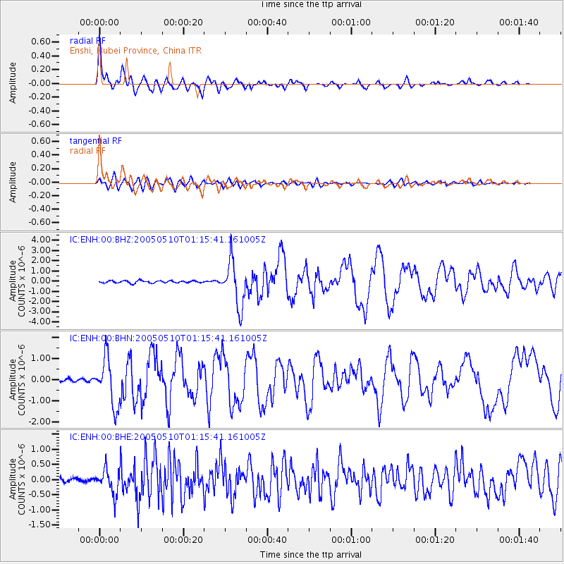
Earthquake location: Southwest Of Sumatra, Indonesia
Earthquake latitude/longitude: -6.2/103.1
Earthquake time(UTC): 2005/05/10 (130) 01:09:05 GMT
Earthquake Depth: 17 km
Earthquake Magnitude: 5.9 MB, 6.4 MS, 6.2 MW, 6.2 MW
Earthquake Catalog/Contributor: WHDF/NEIC
Network: IC New China Digital Seismograph Network
Station: ENH Enshi, Hubei Province, China
Lat/Lon: 30.27 N/109.49 E
Elevation: 487 m
Distance: 36.8 deg
Az: 9.189 deg
Baz: 190.574 deg
Ray Param: 0.076468244
Estimated Moho Depth: 36.25 km
Estimated Crust Vp/Vs: 1.85
Assumed Crust Vp: 6.083 km/s
Estimated Crust Vs: 3.292 km/s
Estimated Crust Poisson's Ratio: 0.29
Radial Match: 91.71675 %
Radial Bump: 400
Transverse Match: 76.03942 %
Transverse Bump: 400
SOD ConfigId: 2455
Insert Time: 2010-03-04 21:51:08.547 +0000
GWidth: 2.5
Max Bumps: 400
Tol: 0.001

Signal To Noise

ChannelStoNSTALTA
IC:ENH:00:BHN:20050510T01:15:41.161005Z15.5725171.1554885E-67.4200486E-8
IC:ENH:00:BHE:20050510T01:15:41.161005Z8.2014994.0875096E-74.9838565E-8
IC:ENH:00:BHZ:20050510T01:15:41.161005Z20.4613112.263803E-61.1063821E-7
Arrivals
Ps5.4 SECOND
PpPs16 SECOND
PsPs/PpSs21 SECOND