ENH Enshi, Hubei Province, China - Earthquake Result Viewer
Earthquake location: Southern Sumatra, Indonesia
Earthquake latitude/longitude: -4.4/101.4
Earthquake time(UTC): 2007/09/12 (255) 11:10:26 GMT
Earthquake Depth: 34 km
Earthquake Magnitude: 6.9 MB, 8.5 MS, 8.4 MW, 8.0 ME
Earthquake Catalog/Contributor: WHDF/NEIC
Network: IC New China Digital Seismograph Network
Station: ENH Enshi, Hubei Province, China
Lat/Lon: 30.27 N/109.49 E
Elevation: 487 m
Distance: 35.4 deg
Az: 12.184 deg
Baz: 194.078 deg
Ray Param: 0.07719178
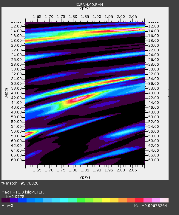
Estimated Moho Depth: 13.0 km
Estimated Crust Vp/Vs: 2.08
Assumed Crust Vp: 6.083 km/s
Estimated Crust Vs: 2.928 km/s
Estimated Crust Poisson's Ratio: 0.35
Radial Match: 95.76328 %
Radial Bump: 358
Transverse Match: 77.27333 %
Transverse Bump: 400
SOD ConfigId: 2564
Insert Time: 2010-03-04 21:55:04.815 +0000
GWidth: 2.5
Max Bumps: 400
Tol: 0.001

Signal To Noise

ChannelStoNSTALTA
IC:ENH:00:BHN:20070912T11:16:48.92201Z2.83984884.6157725E-61.6253585E-6
IC:ENH:00:BHE:20070912T11:16:48.92201Z2.42740961.4153678E-65.8307745E-7
IC:ENH:00:BHZ:20070912T11:16:48.92201Z2.27217175.7988173E-62.5521035E-6
Arrivals
Ps2.4 SECOND
PpPs6.2 SECOND
PsPs/PpSs8.7 SECOND