KMI Kunming, Yunnan Province, China - Earthquake Result Viewer
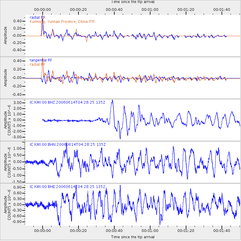
Earthquake location: Rat Islands, Aleutian Islands
Earthquake latitude/longitude: 51.8/177.1
Earthquake time(UTC): 2006/06/14 (165) 04:18:42 GMT
Earthquake Depth: 14 km
Earthquake Magnitude: 5.9 MB, 6.4 MS, 6.4 MW, 6.4 MW
Earthquake Catalog/Contributor: WHDF/NEIC
Network: IC New China Digital Seismograph Network
Station: KMI Kunming, Yunnan Province, China
Lat/Lon: 25.12 N/102.74 E
Elevation: 1975 m
Distance: 61.1 deg
Az: 274.639 deg
Baz: 43.119 deg
Ray Param: 0.06106592
Estimated Moho Depth: 43.5 km
Estimated Crust Vp/Vs: 1.79
Assumed Crust Vp: 6.247 km/s
Estimated Crust Vs: 3.49 km/s
Estimated Crust Poisson's Ratio: 0.27
Radial Match: 92.421455 %
Radial Bump: 400
Transverse Match: 86.19234 %
Transverse Bump: 400
SOD ConfigId: 5745
Insert Time: 2010-03-04 22:34:33.627 +0000
GWidth: 2.5
Max Bumps: 400
Tol: 0.001

Signal To Noise

ChannelStoNSTALTA
IC:KMI:00:BHN:20060614T04:28:25.135Z1.37022171.3317778E-79.719434E-8
IC:KMI:00:BHE:20060614T04:28:25.135Z1.30538071.0545257E-78.0783E-8
IC:KMI:00:BHZ:20060614T04:28:25.135Z3.1473182.3049628E-77.323578E-8
Arrivals
Ps5.7 SECOND
PpPs19 SECOND
PsPs/PpSs24 SECOND