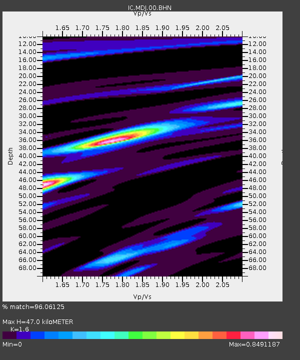
MDJ Mudanjiang, Heilongjiang Province, China - Earthquake Result Viewer

Earthquake location: Andaman Islands, India Region
Earthquake latitude/longitude: 11.0/91.8
Earthquake time(UTC): 2008/06/27 (179) 11:40:13 GMT
Earthquake Depth: 17 km
Earthquake Magnitude: 6.4 MB, 6.7 MS, 6.6 MW, 6.6 MW
Earthquake Catalog/Contributor: WHDF/NEIC
Network: IC New China Digital Seismograph Network
Station: MDJ Mudanjiang, Heilongjiang Province, China
Lat/Lon: 44.62 N/129.59 E
Elevation: 250 m
Distance: 46.6 deg
Az: 37.013 deg
Baz: 235.856 deg
Ray Param: 0.07052528
Estimated Moho Depth: 47.0 km
Estimated Crust Vp/Vs: 1.60
Assumed Crust Vp: 6.459 km/s
Estimated Crust Vs: 4.037 km/s
Estimated Crust Poisson's Ratio: 0.18
Radial Match: 96.06125 %
Radial Bump: 238
Transverse Match: 86.45895 %
Transverse Bump: 400
SOD ConfigId: 2504
Insert Time: 2010-03-04 23:09:40.858 +0000
GWidth: 2.5
Max Bumps: 400
Tol: 0.001

Signal To Noise

ChannelStoNSTALTA
IC:MDJ:00:BHN:20080627T11:48:10.143015Z50.8818932.5533673E-65.0182237E-8
IC:MDJ:00:BHE:20080627T11:48:10.143015Z17.9667767.226464E-74.0221263E-8
IC:MDJ:00:BHZ:20080627T11:48:10.143015Z29.0493871.2882722E-64.4347654E-8
Arrivals
Ps4.7 SECOND
PpPs18 SECOND
PsPs/PpSs22 SECOND