LSK LSK - Earthquake Result Viewer
Earthquake location: Hindu Kush Region, Afghanistan
Earthquake latitude/longitude: 36.6/71.0
Earthquake time(UTC): 2016/01/12 (012) 20:04:59 GMT
Earthquake Depth: 239 km
Earthquake Magnitude: 5.7 MWW, 5.7 MWB, 5.7 MWC
Earthquake Catalog/Contributor: NEIC PDE/NEIC COMCAT
Network: AC Albanian Seismological Network
Station: LSK LSK
Lat/Lon: 40.15 N/20.60 E
Elevation: 960 m
Distance: 39.2 deg
Az: 291.03 deg
Baz: 78.613 deg
Ray Param: 0.07417718
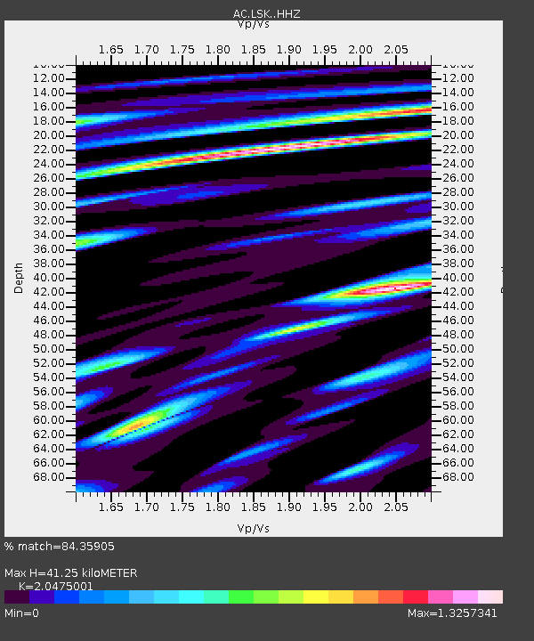
Estimated Moho Depth: 41.25 km
Estimated Crust Vp/Vs: 2.05
Assumed Crust Vp: 6.291 km/s
Estimated Crust Vs: 3.073 km/s
Estimated Crust Poisson's Ratio: 0.34
Radial Match: 84.35905 %
Radial Bump: 400
Transverse Match: 66.91598 %
Transverse Bump: 400
SOD ConfigId: 7422571
Insert Time: 2019-04-21 17:39:15.657 +0000
GWidth: 2.5
Max Bumps: 400
Tol: 0.001

Signal To Noise

ChannelStoNSTALTA
AC:LSK: :HHZ:20160112T20:11:34.253995Z6.09316542.385649E-63.9152866E-7
AC:LSK: :HHN:20160112T20:11:34.253995Z2.68285929.785042E-73.6472437E-7
AC:LSK: :HHE:20160112T20:11:34.253995Z4.66264721.5820342E-63.3929956E-7
Arrivals
Ps7.3 SECOND
PpPs19 SECOND
PsPs/PpSs26 SECOND