WMQ Urumqi, Xinjiang Province, China - Earthquake Result Viewer
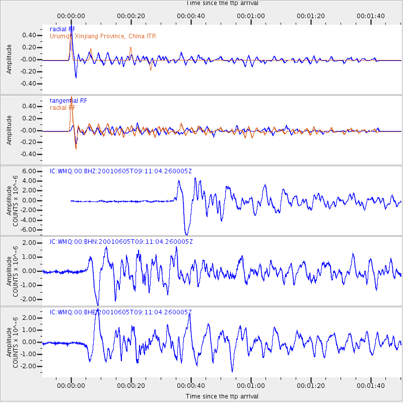
Earthquake location: Eastern New Guinea Reg., P.N.G.
Earthquake latitude/longitude: -6.9/146.4
Earthquake time(UTC): 2001/06/05 (156) 09:00:05 GMT
Earthquake Depth: 10 km
Earthquake Magnitude: 5.8 MB, 6.2 MS, 6.4 MW, 6.1 MW
Earthquake Catalog/Contributor: WHDF/NEIC
Network: IC New China Digital Seismograph Network
Station: WMQ Urumqi, Xinjiang Province, China
Lat/Lon: 43.82 N/87.69 E
Elevation: 903 m
Distance: 73.1 deg
Az: 319.724 deg
Baz: 117.53 deg
Ray Param: 0.053249057
Estimated Moho Depth: 46.75 km
Estimated Crust Vp/Vs: 1.79
Assumed Crust Vp: 6.242 km/s
Estimated Crust Vs: 3.482 km/s
Estimated Crust Poisson's Ratio: 0.27
Radial Match: 96.89584 %
Radial Bump: 400
Transverse Match: 92.282906 %
Transverse Bump: 400
SOD ConfigId: 4714
Insert Time: 2010-03-05 00:01:28.679 +0000
GWidth: 2.5
Max Bumps: 400
Tol: 0.001

Signal To Noise

ChannelStoNSTALTA
IC:WMQ:00:BHN:20010605T09:11:04.260005Z0.950933465.3631588E-85.6398886E-8
IC:WMQ:00:BHE:20010605T09:11:04.260005Z1.76478259.118404E-85.166871E-8
IC:WMQ:00:BHZ:20010605T09:11:04.260005Z3.17471722.0788701E-76.5482055E-8
Arrivals
Ps6.1 SECOND
PpPs20 SECOND
PsPs/PpSs26 SECOND