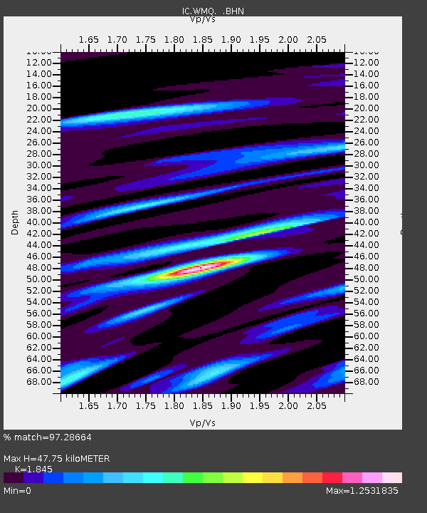
WMQ Urumqi, Xinjiang Province, China - Earthquake Result Viewer

Earthquake location: Minahassa Peninsula, Sulawesi
Earthquake latitude/longitude: 1.2/122.5
Earthquake time(UTC): 1997/11/25 (329) 12:14:33 GMT
Earthquake Depth: 24 km
Earthquake Magnitude: 6.1 MB, 6.8 MS, 7.1 UNKNOWN, 6.7 ME
Earthquake Catalog/Contributor: WHDF/NEIC
Network: IC New China Digital Seismograph Network
Station: WMQ Urumqi, Xinjiang Province, China
Lat/Lon: 43.82 N/87.69 E
Elevation: 903 m
Distance: 52.5 deg
Az: 328.584 deg
Baz: 133.949 deg
Ray Param: 0.066685155
Estimated Moho Depth: 47.75 km
Estimated Crust Vp/Vs: 1.85
Assumed Crust Vp: 6.242 km/s
Estimated Crust Vs: 3.383 km/s
Estimated Crust Poisson's Ratio: 0.29
Radial Match: 97.28664 %
Radial Bump: 400
Transverse Match: 93.36189 %
Transverse Bump: 400
SOD ConfigId: 4480
Insert Time: 2010-03-05 00:02:41.056 +0000
GWidth: 2.5
Max Bumps: 400
Tol: 0.001

Signal To Noise

ChannelStoNSTALTA
IC:WMQ: :BHN:19971125T12:23:13.639001Z3.02008683.2728337E-71.0836887E-7
IC:WMQ: :BHE:19971125T12:23:13.639001Z2.12427191.5605316E-77.3461955E-8
IC:WMQ: :BHZ:19971125T12:23:13.639001Z2.31260871.849604E-77.997911E-8
Arrivals
Ps6.8 SECOND
PpPs21 SECOND
PsPs/PpSs27 SECOND