L44A Lake County Forest Preserve, Grayslake, IL, USA - Earthquake Result Viewer
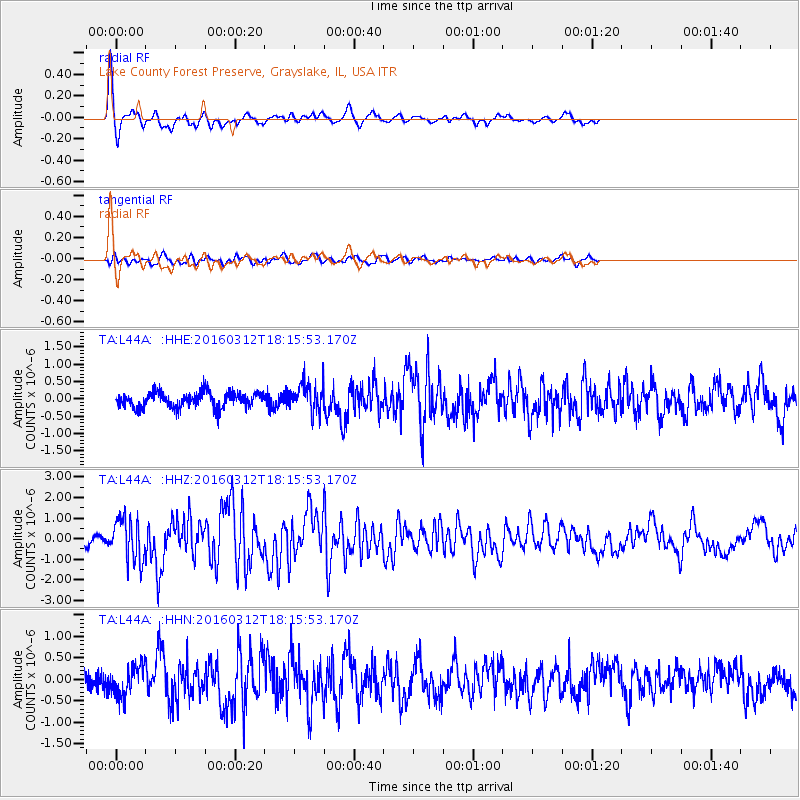
Earthquake location: Andreanof Islands, Aleutian Is.
Earthquake latitude/longitude: 51.6/-174.0
Earthquake time(UTC): 2016/03/12 (072) 18:06:45 GMT
Earthquake Depth: 19 km
Earthquake Magnitude: 6.3 MWW, 6.1 MB, 6.2 MWB, 6.3 MWC, 6.4 MWC, 6.4 MI
Earthquake Catalog/Contributor: NEIC PDE/NEIC COMCAT
Network: TA USArray Transportable Network (new EarthScope stations)
Station: L44A Lake County Forest Preserve, Grayslake, IL, USA
Lat/Lon: 42.18 N/87.91 W
Elevation: 202 m
Distance: 56.4 deg
Az: 62.976 deg
Baz: 311.572 deg
Ray Param: 0.06417509
Estimated Moho Depth: 17.0 km
Estimated Crust Vp/Vs: 2.03
Assumed Crust Vp: 6.483 km/s
Estimated Crust Vs: 3.201 km/s
Estimated Crust Poisson's Ratio: 0.34
Radial Match: 83.31651 %
Radial Bump: 331
Transverse Match: 49.57702 %
Transverse Bump: 400
SOD ConfigId: 7422571
Insert Time: 2019-04-22 00:46:25.963 +0000
GWidth: 2.5
Max Bumps: 400
Tol: 0.001

Signal To Noise

ChannelStoNSTALTA
TA:L44A: :HHZ:20160312T18:15:53.170Z4.7567661.0363169E-62.1786165E-7
TA:L44A: :HHN:20160312T18:15:53.170Z1.48885023.4644407E-72.3269234E-7
TA:L44A: :HHE:20160312T18:15:53.170Z2.01583554.4696264E-72.2172574E-7
Arrivals
Ps2.8 SECOND
PpPs7.6 SECOND
PsPs/PpSs10 SECOND