MSO Missoula, Montana, USA - Earthquake Result Viewer
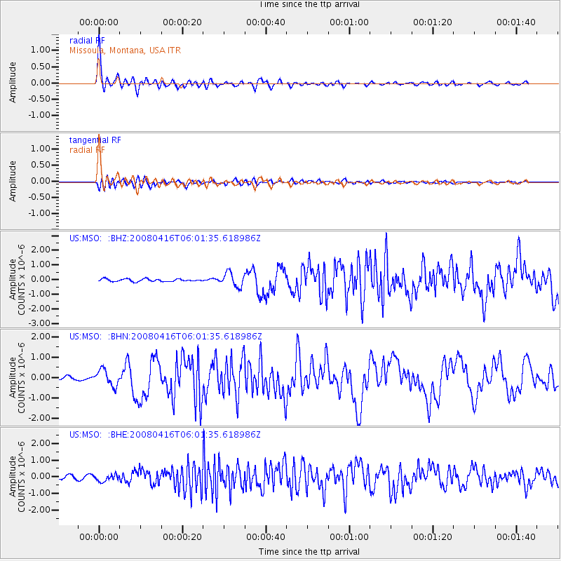
Earthquake location: Andreanof Islands, Aleutian Is.
Earthquake latitude/longitude: 51.9/-179.2
Earthquake time(UTC): 2008/04/16 (107) 05:54:19 GMT
Earthquake Depth: 13 km
Earthquake Magnitude: 6.1 MB, 6.5 MS, 6.6 MW, 6.6 MW
Earthquake Catalog/Contributor: WHDF/NEIC
Network: US United States National Seismic Network
Station: MSO Missoula, Montana, USA
Lat/Lon: 46.83 N/113.94 W
Elevation: 1264 m
Distance: 41.5 deg
Az: 70.163 deg
Baz: 301.868 deg
Ray Param: 0.07373899
Estimated Moho Depth: 38.5 km
Estimated Crust Vp/Vs: 1.71
Assumed Crust Vp: 6.353 km/s
Estimated Crust Vs: 3.726 km/s
Estimated Crust Poisson's Ratio: 0.24
Radial Match: 94.65832 %
Radial Bump: 400
Transverse Match: 81.33451 %
Transverse Bump: 400
SOD ConfigId: 2504
Insert Time: 2010-03-05 02:10:53.181 +0000
GWidth: 2.5
Max Bumps: 400
Tol: 0.001

Signal To Noise

ChannelStoNSTALTA
US:MSO: :BHN:20080416T06:01:35.618986Z4.9174954.088534E-78.314262E-8
US:MSO: :BHE:20080416T06:01:35.618986Z1.7354332.1889083E-71.2613037E-7
US:MSO: :BHZ:20080416T06:01:35.618986Z5.51307774.824491E-78.750994E-8
Arrivals
Ps4.6 SECOND
PpPs15 SECOND
PsPs/PpSs20 SECOND