MSO Missoula, Montana, USA - Earthquake Result Viewer
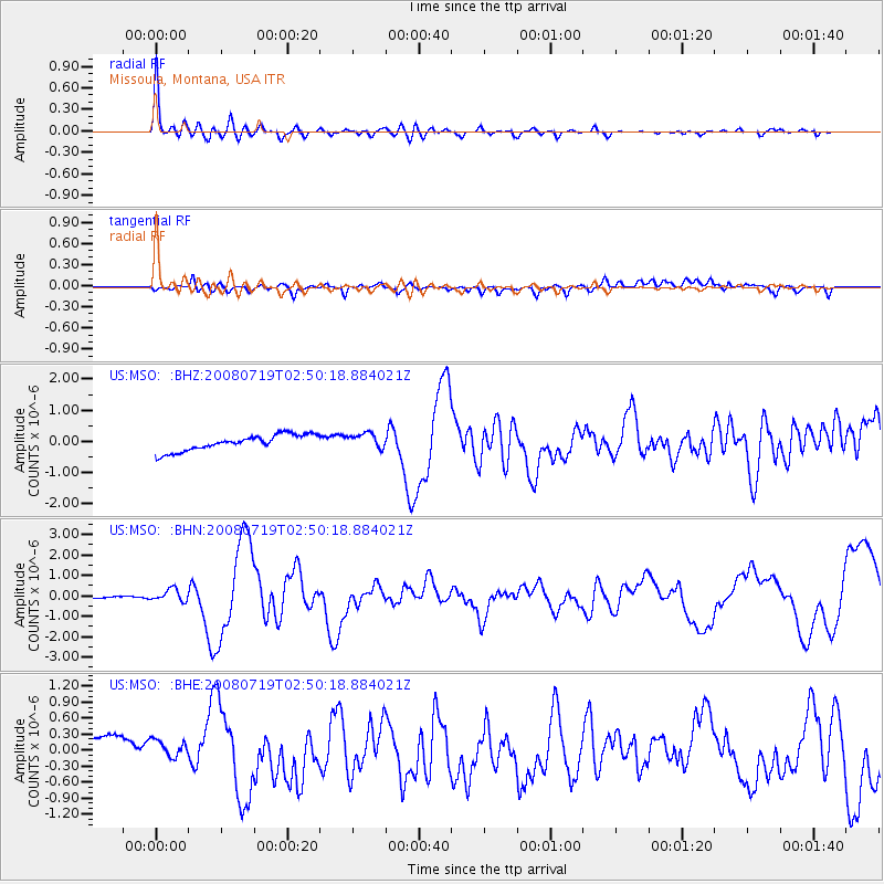
Earthquake location: Off East Coast Of Honshu, Japan
Earthquake latitude/longitude: 37.6/142.2
Earthquake time(UTC): 2008/07/19 (201) 02:39:28 GMT
Earthquake Depth: 22 km
Earthquake Magnitude: 6.2 MB, 7.0 MS, 7.0 MW, 6.9 MW
Earthquake Catalog/Contributor: WHDF/NEIC
Network: US United States National Seismic Network
Station: MSO Missoula, Montana, USA
Lat/Lon: 46.83 N/113.94 W
Elevation: 1264 m
Distance: 71.9 deg
Az: 44.537 deg
Baz: 305.723 deg
Ray Param: 0.053993754
Estimated Moho Depth: 68.5 km
Estimated Crust Vp/Vs: 2.04
Assumed Crust Vp: 6.353 km/s
Estimated Crust Vs: 3.118 km/s
Estimated Crust Poisson's Ratio: 0.34
Radial Match: 95.75925 %
Radial Bump: 390
Transverse Match: 77.246826 %
Transverse Bump: 400
SOD ConfigId: 2504
Insert Time: 2010-03-05 02:11:17.005 +0000
GWidth: 2.5
Max Bumps: 400
Tol: 0.001

Signal To Noise

ChannelStoNSTALTA
US:MSO: :BHN:20080719T02:50:18.884021Z7.33925063.0340445E-74.1339977E-8
US:MSO: :BHE:20080719T02:50:18.884021Z0.67535821.8777976E-72.780447E-7
US:MSO: :BHZ:20080719T02:50:18.884021Z0.97930262.489722E-72.542342E-7
Arrivals
Ps12 SECOND
PpPs32 SECOND
PsPs/PpSs43 SECOND