NEE2 Needles Airport - Earthquake Result Viewer
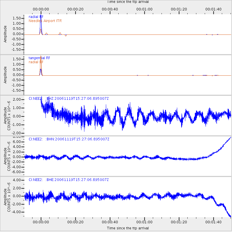
Earthquake location: East Of Kuril Islands
Earthquake latitude/longitude: 46.9/154.9
Earthquake time(UTC): 2006/11/19 (323) 15:16:52 GMT
Earthquake Depth: 10 km
Earthquake Magnitude: 5.6 MB, 4.9 MS, 5.5 MW, 5.3 MW
Earthquake Catalog/Contributor: WHDF/NEIC
Network: CI Caltech Regional Seismic Network
Station: NEE2 Needles Airport
Lat/Lon: 34.77 N/114.62 W
Elevation: 271 m
Distance: 65.9 deg
Az: 64.403 deg
Baz: 311.309 deg
Ray Param: 0.057969753
Estimated Moho Depth: 10.0 km
Estimated Crust Vp/Vs: 1.60
Assumed Crust Vp: 6.276 km/s
Estimated Crust Vs: 3.922 km/s
Estimated Crust Poisson's Ratio: 0.18
Radial Match: 99.88066 %
Radial Bump: 16
Transverse Match: 99.78221 %
Transverse Bump: 35
SOD ConfigId: 2564
Insert Time: 2010-02-26 00:20:44.965 +0000
GWidth: 2.5
Max Bumps: 400
Tol: 0.001

Signal To Noise

ChannelStoNSTALTA
CI:NEE2: :BHN:20061119T15:27:06.895007Z0.895746357.6281873E-78.5160127E-7
CI:NEE2: :BHE:20061119T15:27:06.895007Z0.910578257.2801174E-77.9950485E-7
CI:NEE2: :BHZ:20061119T15:27:06.895007Z1.05998567.451301E-77.029625E-7
Arrivals
Ps1.0 SECOND
PpPs4.0 SECOND
PsPs/PpSs5.0 SECOND