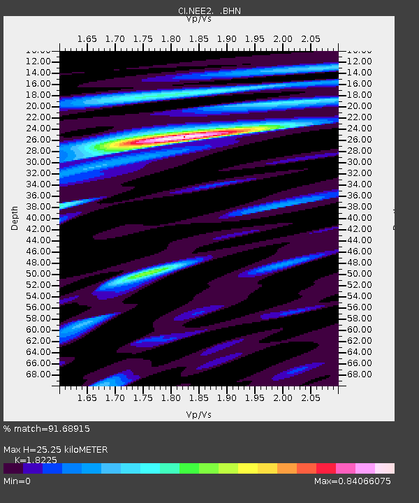
NEE2 Needles Airport - Earthquake Result Viewer

Earthquake location: Santa Cruz Islands Region
Earthquake latitude/longitude: -11.0/164.5
Earthquake time(UTC): 2008/07/19 (201) 09:27:01 GMT
Earthquake Depth: 11 km
Earthquake Magnitude: 6.1 MB, 6.4 MS, 6.6 MW, 6.6 MW
Earthquake Catalog/Contributor: WHDF/NEIC
Network: CI Caltech Regional Seismic Network
Station: NEE2 Needles Airport
Lat/Lon: 34.77 N/114.62 W
Elevation: 271 m
Distance: 88.9 deg
Az: 54.393 deg
Baz: 255.821 deg
Ray Param: 0.04227347
Estimated Moho Depth: 25.25 km
Estimated Crust Vp/Vs: 1.82
Assumed Crust Vp: 6.276 km/s
Estimated Crust Vs: 3.444 km/s
Estimated Crust Poisson's Ratio: 0.28
Radial Match: 91.68915 %
Radial Bump: 400
Transverse Match: 82.81665 %
Transverse Bump: 400
SOD ConfigId: 2658
Insert Time: 2010-02-26 00:21:49.735 +0000
GWidth: 2.5
Max Bumps: 400
Tol: 0.001

Signal To Noise

ChannelStoNSTALTA
CI:NEE2: :BHN:20080719T09:39:23.999001Z19.559742.3872592E-61.2204964E-7
CI:NEE2: :BHE:20080719T09:39:23.999001Z1.09903351.9104206E-71.7382735E-7
CI:NEE2: :BHZ:20080719T09:39:23.999001Z4.2997597.046903E-71.6389066E-7
Arrivals
Ps3.4 SECOND
PpPs11 SECOND
PsPs/PpSs15 SECOND