OHH Osh,Kyrgyzstan - Earthquake Result Viewer
Earthquake location: Southern Sumatra, Indonesia
Earthquake latitude/longitude: -2.1/100.7
Earthquake time(UTC): 2016/06/01 (153) 22:56:00 GMT
Earthquake Depth: 50 km
Earthquake Magnitude: 6.6 MWW, 6.4 MWB, 6.6 MWC, 6.7 MWC
Earthquake Catalog/Contributor: NEIC PDE/NEIC COMCAT
Network: KR Kyrgyz Digital Network
Station: OHH Osh,Kyrgyzstan
Lat/Lon: 40.53 N/72.78 E
Elevation: 800 m
Distance: 49.5 deg
Az: 332.028 deg
Baz: 142.051 deg
Ray Param: 0.06855072
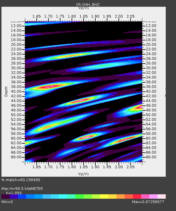
Estimated Moho Depth: 59.5 km
Estimated Crust Vp/Vs: 1.86
Assumed Crust Vp: 6.306 km/s
Estimated Crust Vs: 3.399 km/s
Estimated Crust Poisson's Ratio: 0.30
Radial Match: 90.159485 %
Radial Bump: 400
Transverse Match: 84.46079 %
Transverse Bump: 400
SOD ConfigId: 7422571
Insert Time: 2019-04-22 17:36:37.491 +0000
GWidth: 2.5
Max Bumps: 400
Tol: 0.001

Signal To Noise

ChannelStoNSTALTA
KR:OHH: :BHZ:20160601T23:04:15.52501Z8.1967821.6834841E-62.0538354E-7
KR:OHH: :BHN:20160601T23:04:15.52501Z4.21982964.7493145E-71.1254754E-7
KR:OHH: :BHE:20160601T23:04:15.52501Z2.76503594.2597884E-71.5405907E-7
Arrivals
Ps8.5 SECOND
PpPs26 SECOND
PsPs/PpSs34 SECOND