BPAW Bear Paw Mountain Broadband - Earthquake Result Viewer
Earthquake location: Northern Molucca Sea
Earthquake latitude/longitude: 1.3/126.3
Earthquake time(UTC): 2016/06/07 (159) 19:15:15 GMT
Earthquake Depth: 31 km
Earthquake Magnitude: 6.3 MWW, 6.2 MWB, 6.3 MWC, 6.4 MWC, 6.5 MI, 6.6 MI
Earthquake Catalog/Contributor: NEIC PDE/NEIC COMCAT
Network: AK Alaska Regional Network
Station: BPAW Bear Paw Mountain Broadband
Lat/Lon: 64.10 N/150.98 W
Elevation: 619 m
Distance: 85.6 deg
Az: 25.905 deg
Baz: 263.99 deg
Ray Param: 0.044595998
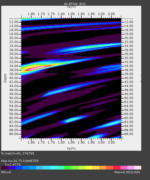
Estimated Moho Depth: 34.75 km
Estimated Crust Vp/Vs: 1.68
Assumed Crust Vp: 6.566 km/s
Estimated Crust Vs: 3.914 km/s
Estimated Crust Poisson's Ratio: 0.22
Radial Match: 91.376785 %
Radial Bump: 400
Transverse Match: 86.479904 %
Transverse Bump: 400
SOD ConfigId: 7422571
Insert Time: 2019-04-22 19:11:07.361 +0000
GWidth: 2.5
Max Bumps: 400
Tol: 0.001

Signal To Noise

ChannelStoNSTALTA
AK:BPAW: :BHZ:20160607T19:27:19.567998Z13.4608719.5000337E-77.057518E-8
AK:BPAW: :BHN:20160607T19:27:19.567998Z1.69590191.707049E-71.00657296E-7
AK:BPAW: :BHE:20160607T19:27:19.567998Z2.52679162.6810756E-71.06105915E-7
Arrivals
Ps3.7 SECOND
PpPs14 SECOND
PsPs/PpSs17 SECOND