OXF Oxford, Mississippi, USA - Earthquake Result Viewer
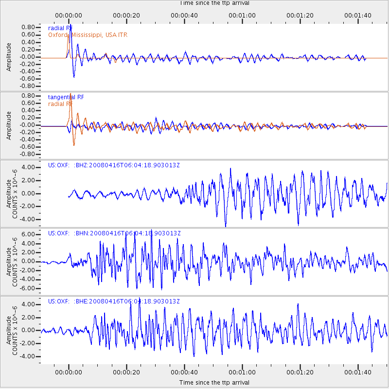
Earthquake location: Andreanof Islands, Aleutian Is.
Earthquake latitude/longitude: 51.9/-179.2
Earthquake time(UTC): 2008/04/16 (107) 05:54:19 GMT
Earthquake Depth: 13 km
Earthquake Magnitude: 6.1 MB, 6.5 MS, 6.6 MW, 6.6 MW
Earthquake Catalog/Contributor: WHDF/NEIC
Network: US United States National Seismic Network
Station: OXF Oxford, Mississippi, USA
Lat/Lon: 34.51 N/89.41 W
Elevation: 101 m
Distance: 63.6 deg
Az: 67.216 deg
Baz: 316.203 deg
Ray Param: 0.059469778
Estimated Moho Depth: 10.0 km
Estimated Crust Vp/Vs: 1.60
Assumed Crust Vp: 6.38 km/s
Estimated Crust Vs: 3.988 km/s
Estimated Crust Poisson's Ratio: 0.18
Radial Match: 95.03455 %
Radial Bump: 371
Transverse Match: 87.19199 %
Transverse Bump: 400
SOD ConfigId: 2504
Insert Time: 2010-03-05 06:01:38.655 +0000
GWidth: 2.5
Max Bumps: 400
Tol: 0.001

Signal To Noise

ChannelStoNSTALTA
US:OXF: :BHN:20080416T06:04:18.903013Z4.43180757.4903517E-71.6901346E-7
US:OXF: :BHE:20080416T06:04:18.903013Z1.11137273.042236E-72.737368E-7
US:OXF: :BHZ:20080416T06:04:18.903013Z1.55967315.3383695E-73.4227492E-7
Arrivals
Ps1.0 SECOND
PpPs3.9 SECOND
PsPs/PpSs4.9 SECOND