TPNV Topopah Spring, Nevada, USA - Earthquake Result Viewer
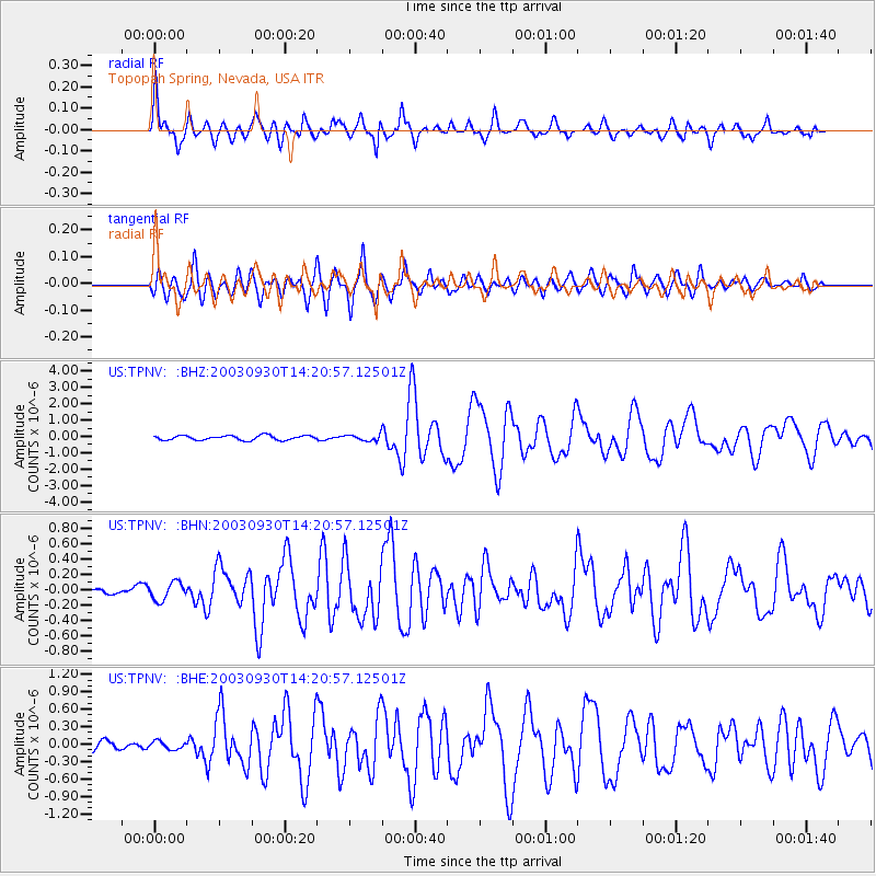
Earthquake location: Kermadec Islands, New Zealand
Earthquake latitude/longitude: -30.4/-177.4
Earthquake time(UTC): 2003/09/30 (273) 14:08:37 GMT
Earthquake Depth: 10 km
Earthquake Magnitude: 5.8 MB, 6.5 MS, 6.4 MW, 6.4 MW
Earthquake Catalog/Contributor: WHDF/NEIC
Network: US United States National Seismic Network
Station: TPNV Topopah Spring, Nevada, USA
Lat/Lon: 36.95 N/116.25 W
Elevation: 1600 m
Distance: 88.2 deg
Az: 44.59 deg
Baz: 229.188 deg
Ray Param: 0.04279596
Estimated Moho Depth: 63.5 km
Estimated Crust Vp/Vs: 1.79
Assumed Crust Vp: 6.279 km/s
Estimated Crust Vs: 3.517 km/s
Estimated Crust Poisson's Ratio: 0.27
Radial Match: 92.90085 %
Radial Bump: 400
Transverse Match: 87.175316 %
Transverse Bump: 400
SOD ConfigId: 110165
Insert Time: 2010-03-05 06:29:06.506 +0000
GWidth: 2.5
Max Bumps: 400
Tol: 0.001

Signal To Noise

ChannelStoNSTALTA
US:TPNV: :BHN:20030930T14:20:57.12501Z1.95578611.1572312E-75.916962E-8
US:TPNV: :BHE:20030930T14:20:57.12501Z0.869726066.998915E-88.047264E-8
US:TPNV: :BHZ:20030930T14:20:57.12501Z1.34731971.8533545E-71.3755863E-7
Arrivals
Ps8.1 SECOND
PpPs28 SECOND
PsPs/PpSs36 SECOND