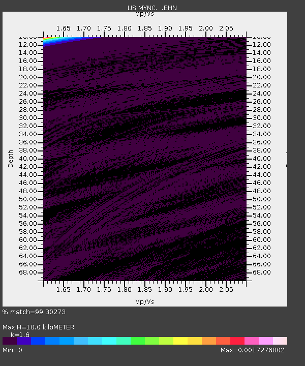
MYNC Murphy, North Carolina, USA - Earthquake Result Viewer

Earthquake location: Near East Coast Of Honshu, Japan
Earthquake latitude/longitude: 36.5/141.0
Earthquake time(UTC): 2000/07/20 (202) 18:39:18 GMT
Earthquake Depth: 47 km
Earthquake Magnitude: 6.1 MB, 5.4 MS, 6.1 ME, 6.0 MW
Earthquake Catalog/Contributor: WHDF/NEIC
Network: US United States National Seismic Network
Station: MYNC Murphy, North Carolina, USA
Lat/Lon: 35.07 N/84.13 W
Elevation: 550 m
Distance: 97.3 deg
Az: 35.866 deg
Baz: 324.866 deg
Ray Param: 0.040219363
Estimated Moho Depth: 10.0 km
Estimated Crust Vp/Vs: 1.60
Assumed Crust Vp: 6.35 km/s
Estimated Crust Vs: 3.969 km/s
Estimated Crust Poisson's Ratio: 0.18
Radial Match: 99.30273 %
Radial Bump: 35
Transverse Match: 96.78269 %
Transverse Bump: 107
SOD ConfigId: 110165
Insert Time: 2010-03-05 06:38:58.110 +0000
GWidth: 2.5
Max Bumps: 400
Tol: 0.001

Signal To Noise

ChannelStoNSTALTA
US:MYNC: :BHN:20000720T18:52:15.46801Z0.82807414.8768667E-105.8894084E-10
US:MYNC: :BHE:20000720T18:52:15.46801Z1.70707765.628158E-103.2969547E-10
US:MYNC: :BHZ:20000720T18:52:15.46801Z0.920571273.6363626E-103.950115E-10
Arrivals
Ps1.0 SECOND
PpPs4.0 SECOND
PsPs/PpSs5.0 SECOND