You are here: Home > Network List > TA - USArray Transportable Network (new EarthScope stations) Stations List
> Station P17K Kvichak River, AK, USA > Earthquake Result Viewer
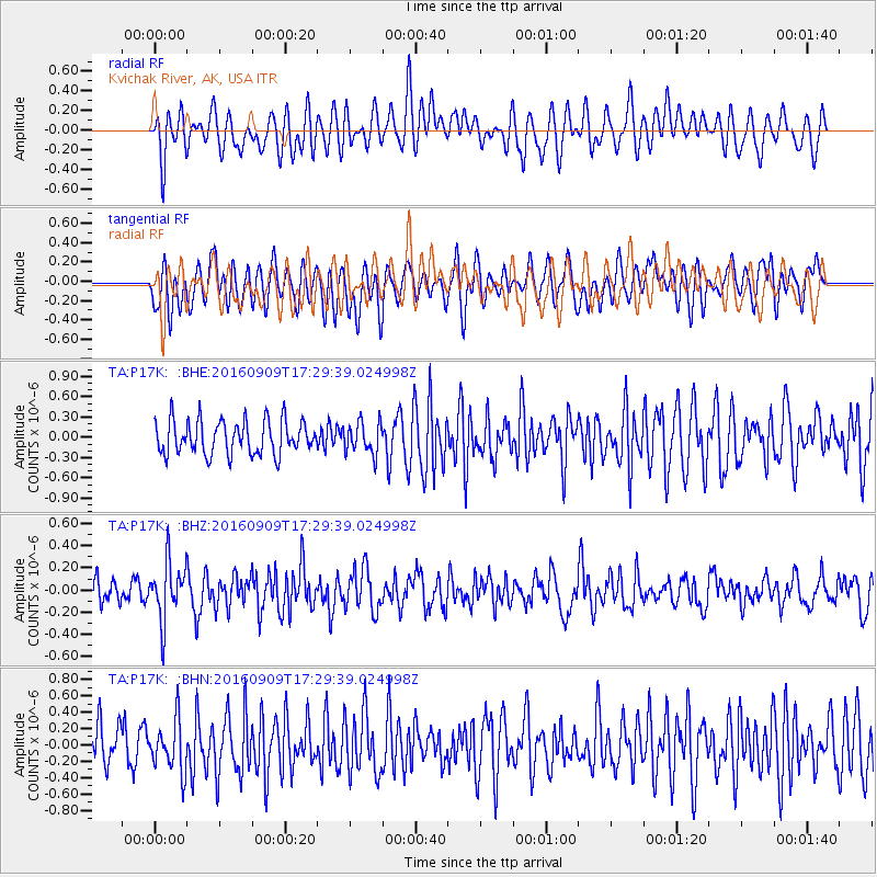
P17K Kvichak River, AK, USA - Earthquake Result Viewer
*The percent match for this event was below the threshold and hence no stack was calculated.
| Earthquake location: |
Northern Mid-Atlantic Ridge |
| Earthquake latitude/longitude: |
22.1/-45.9 |
| Earthquake time(UTC): |
2016/09/09 (253) 17:17:54 GMT |
| Earthquake Depth: |
10 km |
| Earthquake Magnitude: |
5.5 MB |
| Earthquake Catalog/Contributor: |
NEIC PDE/NEIC COMCAT |
|
| Network: |
TA USArray Transportable Network (new EarthScope stations) |
| Station: |
P17K Kvichak River, AK, USA |
| Lat/Lon: |
59.20 N/156.44 W |
| Elevation: |
91 m |
|
| Distance: |
81.2 deg |
| Az: |
330.821 deg |
| Baz: |
61.461 deg |
| Ray Param: |
$rayparam |
*The percent match for this event was below the threshold and hence was not used in the summary stack. |
|
| Radial Match: |
48.19972 % |
| Radial Bump: |
400 |
| Transverse Match: |
46.291218 % |
| Transverse Bump: |
400 |
| SOD ConfigId: |
11737051 |
| Insert Time: |
2019-04-25 11:48:21.057 +0000 |
| GWidth: |
2.5 |
| Max Bumps: |
400 |
| Tol: |
0.001 |
|
Signal To Noise
| Channel | StoN | STA | LTA |
| TA:P17K: :BHZ:20160909T17:29:39.024998Z | 2.1858957 | 2.62785E-7 | 1.2021846E-7 |
| TA:P17K: :BHN:20160909T17:29:39.024998Z | 0.7329241 | 3.1030729E-7 | 4.2338257E-7 |
| TA:P17K: :BHE:20160909T17:29:39.024998Z | 0.93923813 | 2.3347242E-7 | 2.4857638E-7 |
| Arrivals |
| Ps | |
| PpPs | |
| PsPs/PpSs | |


