KSU1 Kansas State University--Konza Prairie, Kansas, USA - Earthquake Result Viewer
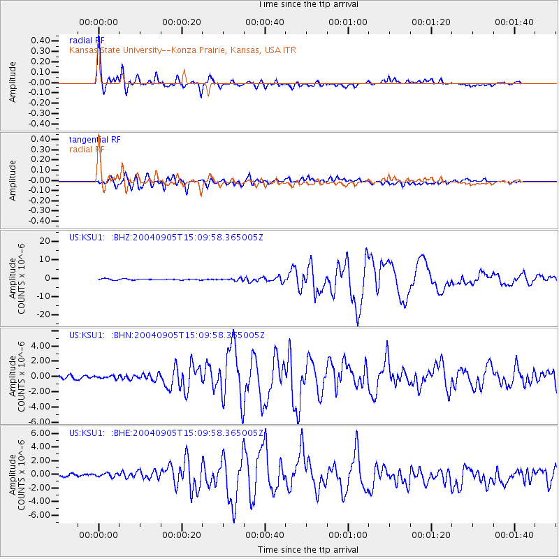
Earthquake location: Near S. Coast Of Honshu, Japan
Earthquake latitude/longitude: 33.2/137.1
Earthquake time(UTC): 2004/09/05 (249) 14:57:18 GMT
Earthquake Depth: 10 km
Earthquake Magnitude: 6.2 MB, 7.1 MS, 7.4 MW, 7.4 MW
Earthquake Catalog/Contributor: WHDF/NEIC
Network: US United States National Seismic Network
Station: KSU1 Kansas State University--Konza Prairie, Kansas, USA
Lat/Lon: 39.10 N/96.61 W
Elevation: 347 m
Distance: 92.5 deg
Az: 38.87 deg
Baz: 317.442 deg
Ray Param: 0.04143853
Estimated Moho Depth: 44.75 km
Estimated Crust Vp/Vs: 1.82
Assumed Crust Vp: 6.483 km/s
Estimated Crust Vs: 3.572 km/s
Estimated Crust Poisson's Ratio: 0.28
Radial Match: 93.67798 %
Radial Bump: 400
Transverse Match: 86.83918 %
Transverse Bump: 400
SOD ConfigId: 110177
Insert Time: 2010-03-05 06:56:06.831 +0000
GWidth: 2.5
Max Bumps: 400
Tol: 0.001

Signal To Noise

ChannelStoNSTALTA
US:KSU1: :BHN:20040905T15:09:58.365005Z0.997444751.8243043E-71.828978E-7
US:KSU1: :BHE:20040905T15:09:58.365005Z0.999724276.270319E-76.272049E-7
US:KSU1: :BHZ:20040905T15:09:58.365005Z1.72353835.2794525E-73.0631477E-7
Arrivals
Ps5.7 SECOND
PpPs19 SECOND
PsPs/PpSs25 SECOND