WVT Waverly, Tennessee, USA - Earthquake Result Viewer
Earthquake location: Unimak Island Region, Alaska
Earthquake latitude/longitude: 53.8/-164.1
Earthquake time(UTC): 2005/11/20 (324) 12:53:02 GMT
Earthquake Depth: 30 km
Earthquake Magnitude: 5.7 MB, 5.8 MS, 6.2 MW, 6.0 MW
Earthquake Catalog/Contributor: WHDF/NEIC
Network: US United States National Seismic Network
Station: WVT Waverly, Tennessee, USA
Lat/Lon: 36.13 N/87.83 W
Elevation: 153 m
Distance: 54.1 deg
Az: 76.21 deg
Baz: 314.693 deg
Ray Param: 0.065627135
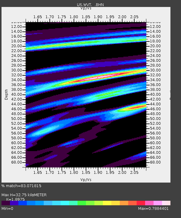
Estimated Moho Depth: 32.75 km
Estimated Crust Vp/Vs: 1.90
Assumed Crust Vp: 6.444 km/s
Estimated Crust Vs: 3.396 km/s
Estimated Crust Poisson's Ratio: 0.31
Radial Match: 83.071815 %
Radial Bump: 357
Transverse Match: 69.327576 %
Transverse Bump: 400
SOD ConfigId: 2448
Insert Time: 2010-03-05 07:07:22.215 +0000
GWidth: 2.5
Max Bumps: 400
Tol: 0.001

Signal To Noise

ChannelStoNSTALTA
US:WVT: :BHN:20051120T13:01:53.983997Z2.2316792.3135794E-71.0366991E-7
US:WVT: :BHE:20051120T13:01:53.983997Z2.3816432.3343348E-79.801363E-8
US:WVT: :BHZ:20051120T13:01:53.983997Z4.4312146.7873145E-71.5317055E-7
Arrivals
Ps4.8 SECOND
PpPs14 SECOND
PsPs/PpSs19 SECOND