You are here: Home > Network List > US - United States National Seismic Network Stations List
> Station ELK Elko, Nevada, USA > Earthquake Result Viewer
ELK Elko, Nevada, USA - Earthquake Result Viewer
*The percent match for this event was below the threshold and hence no stack was calculated.
| Earthquake location: |
Fiji Islands |
| Earthquake latitude/longitude: |
-16.2/178.3 |
| Earthquake time(UTC): |
2009/02/11 (042) 13:52:41 GMT |
| Earthquake Depth: |
10 km |
| Earthquake Magnitude: |
5.6 MB, 5.3 MS, 5.7 MW, 5.7 MW |
| Earthquake Catalog/Contributor: |
WHDF/NEIC |
|
| Network: |
US United States National Seismic Network |
| Station: |
ELK Elko, Nevada, USA |
| Lat/Lon: |
40.74 N/115.24 W |
| Elevation: |
2210 m |
|
| Distance: |
83.6 deg |
| Az: |
44.489 deg |
| Baz: |
242.383 deg |
| Ray Param: |
$rayparam |
*The percent match for this event was below the threshold and hence was not used in the summary stack. |
|
| Radial Match: |
57.190685 % |
| Radial Bump: |
400 |
| Transverse Match: |
50.275185 % |
| Transverse Bump: |
400 |
| SOD ConfigId: |
2658 |
| Insert Time: |
2010-03-05 07:22:07.505 +0000 |
| GWidth: |
2.5 |
| Max Bumps: |
400 |
| Tol: |
0.001 |
|
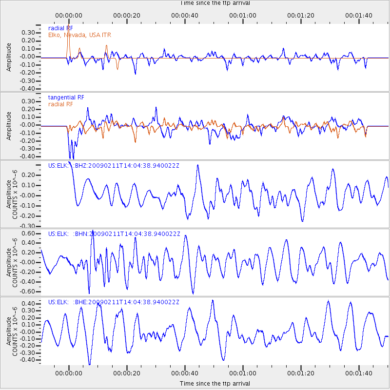
Signal To Noise
| Channel | StoN | STA | LTA |
| US:ELK: :BHN:20090211T14:04:38.940022Z | 0.47874722 | 8.683572E-8 | 1.8138114E-7 |
| US:ELK: :BHE:20090211T14:04:38.940022Z | 1.4814413 | 2.2218902E-7 | 1.4998167E-7 |
| US:ELK: :BHZ:20090211T14:04:38.940022Z | 0.8365686 | 8.6438774E-8 | 1.0332539E-7 |
| Arrivals |
| Ps | |
| PpPs | |
| PsPs/PpSs | |


