You are here: Home > Network List > US - United States National Seismic Network Stations List
> Station EGMT Eagleton, Montana, USA > Earthquake Result Viewer
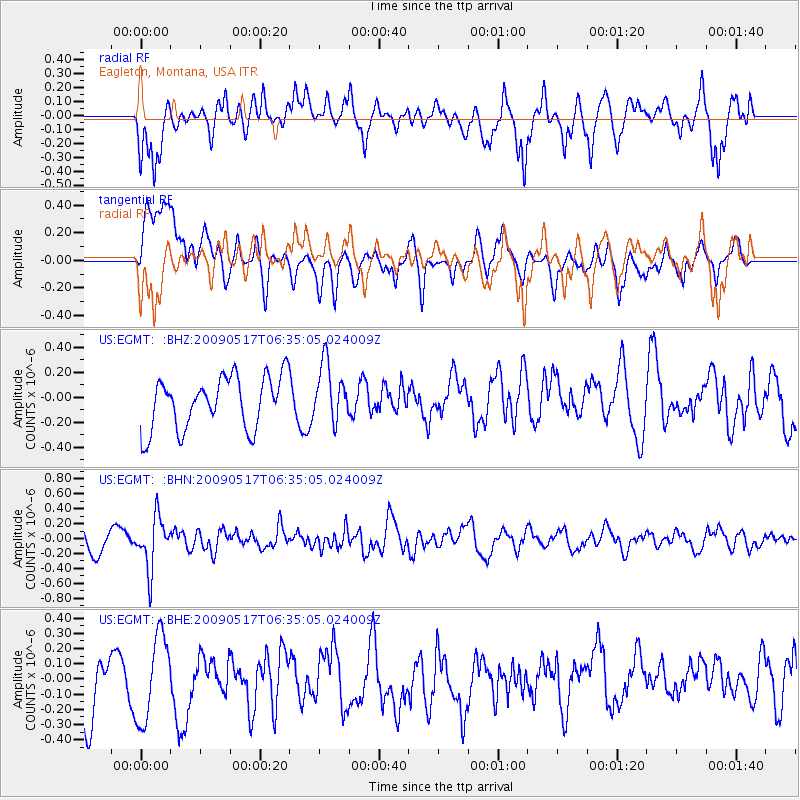
EGMT Eagleton, Montana, USA - Earthquake Result Viewer
*The percent match for this event was below the threshold and hence no stack was calculated.
| Earthquake location: |
Tonga Islands |
| Earthquake latitude/longitude: |
-16.8/-173.5 |
| Earthquake time(UTC): |
2009/05/17 (137) 06:23:03 GMT |
| Earthquake Depth: |
67 km |
| Earthquake Magnitude: |
5.5 MB, 5.6 MW, 5.6 MW |
| Earthquake Catalog/Contributor: |
WHDF/NEIC |
|
| Network: |
US United States National Seismic Network |
| Station: |
EGMT Eagleton, Montana, USA |
| Lat/Lon: |
48.02 N/109.75 W |
| Elevation: |
1055 m |
|
| Distance: |
85.9 deg |
| Az: |
37.123 deg |
| Baz: |
239.435 deg |
| Ray Param: |
$rayparam |
*The percent match for this event was below the threshold and hence was not used in the summary stack. |
|
| Radial Match: |
65.26568 % |
| Radial Bump: |
400 |
| Transverse Match: |
49.359177 % |
| Transverse Bump: |
400 |
| SOD ConfigId: |
2760 |
| Insert Time: |
2010-03-05 07:26:54.704 +0000 |
| GWidth: |
2.5 |
| Max Bumps: |
400 |
| Tol: |
0.001 |
|
Signal To Noise
| Channel | StoN | STA | LTA |
| US:EGMT: :BHN:20090517T06:35:05.024009Z | 3.2959027 | 3.474297E-7 | 1.0541261E-7 |
| US:EGMT: :BHE:20090517T06:35:05.024009Z | 1.3953439 | 2.8432092E-7 | 2.0376405E-7 |
| US:EGMT: :BHZ:20090517T06:35:05.024009Z | 1.1090821 | 2.322084E-7 | 2.093699E-7 |
| Arrivals |
| Ps | |
| PpPs | |
| PsPs/PpSs | |


