FARB Farallon Islands, CA - Earthquake Result Viewer
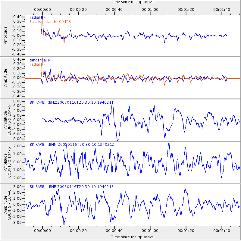
Earthquake location: W. Caroline Islands, Micronesia
Earthquake latitude/longitude: 10.9/140.8
Earthquake time(UTC): 2005/01/16 (016) 20:17:52 GMT
Earthquake Depth: 25 km
Earthquake Magnitude: 6.3 MB, 6.7 MS, 6.6 MW, 6.6 MW
Earthquake Catalog/Contributor: WHDF/NEIC
Network: BK Berkeley Digital Seismograph Network
Station: FARB Farallon Islands, CA
Lat/Lon: 37.70 N/123.00 W
Elevation: -18.5 m
Distance: 88.2 deg
Az: 52.096 deg
Baz: 282.341 deg
Ray Param: 0.042727962
Estimated Moho Depth: 15.75 km
Estimated Crust Vp/Vs: 1.61
Assumed Crust Vp: 6.183 km/s
Estimated Crust Vs: 3.846 km/s
Estimated Crust Poisson's Ratio: 0.18
Radial Match: 87.3166 %
Radial Bump: 400
Transverse Match: 64.87673 %
Transverse Bump: 400
SOD ConfigId: 5233
Insert Time: 2010-03-05 19:15:56.546 +0000
GWidth: 2.5
Max Bumps: 400
Tol: 0.001

Signal To Noise

ChannelStoNSTALTA
BK:FARB: :BHN:20050116T20:30:10.194021Z1.3936546.615435E-74.7468274E-7
BK:FARB: :BHE:20050116T20:30:10.194021Z2.1698289.733592E-74.485882E-7
BK:FARB: :BHZ:20050116T20:30:10.194021Z3.56895142.0864031E-65.8459835E-7
Arrivals
Ps1.6 SECOND
PpPs6.5 SECOND
PsPs/PpSs8.1 SECOND