KMI Kunming, Yunnan Province, China - Earthquake Result Viewer
Earthquake location: South Island, New Zealand
Earthquake latitude/longitude: -42.7/173.1
Earthquake time(UTC): 2016/11/13 (318) 11:02:59 GMT
Earthquake Depth: 22 km
Earthquake Magnitude: 7.8 MWW, 7.2 MWB, 7.4 MI, 7.8 MWC
Earthquake Catalog/Contributor: NEIC PDE/NEIC COMCAT
Network: IC New China Digital Seismograph Network
Station: KMI Kunming, Yunnan Province, China
Lat/Lon: 25.12 N/102.74 E
Elevation: 1975 m
Distance: 93.5 deg
Az: 301.226 deg
Baz: 135.962 deg
Ray Param: 0.041248947
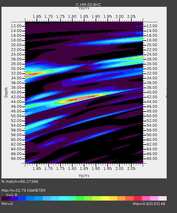
Estimated Moho Depth: 32.75 km
Estimated Crust Vp/Vs: 1.60
Assumed Crust Vp: 6.247 km/s
Estimated Crust Vs: 3.904 km/s
Estimated Crust Poisson's Ratio: 0.18
Radial Match: 98.27386 %
Radial Bump: 400
Transverse Match: 92.05537 %
Transverse Bump: 400
SOD ConfigId: 11737051
Insert Time: 2019-04-26 01:26:10.238 +0000
GWidth: 2.5
Max Bumps: 400
Tol: 0.001

Signal To Noise

ChannelStoNSTALTA
IC:KMI:00:BHZ:20161113T11:15:41.268975Z3.76106932.1568565E-75.7346895E-8
IC:KMI:00:BH1:20161113T11:15:41.268975Z1.03617077.857481E-87.5831906E-8
IC:KMI:00:BH2:20161113T11:15:41.268975Z1.06866346.859931E-86.4191696E-8
Arrivals
Ps3.2 SECOND
PpPs13 SECOND
PsPs/PpSs17 SECOND