UNGL UNGL - Earthquake Result Viewer
Earthquake location: South Island, New Zealand
Earthquake latitude/longitude: -42.7/173.1
Earthquake time(UTC): 2016/11/13 (318) 11:02:59 GMT
Earthquake Depth: 22 km
Earthquake Magnitude: 7.8 MWW, 7.2 MWB, 7.4 MI, 7.8 MWC
Earthquake Catalog/Contributor: NEIC PDE/NEIC COMCAT
Network: YT POLENET
Station: UNGL UNGL
Lat/Lon: 79.77 S/82.52 W
Elevation: 745 m
Distance: 50.8 deg
Az: 167.092 deg
Baz: 247.116 deg
Ray Param: 0.06779838
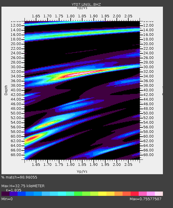
Estimated Moho Depth: 32.75 km
Estimated Crust Vp/Vs: 1.84
Assumed Crust Vp: 6.182 km/s
Estimated Crust Vs: 3.369 km/s
Estimated Crust Poisson's Ratio: 0.29
Radial Match: 98.96055 %
Radial Bump: 250
Transverse Match: 91.548065 %
Transverse Bump: 400
SOD ConfigId: 11737051
Insert Time: 2019-04-26 01:27:24.807 +0000
GWidth: 2.5
Max Bumps: 400
Tol: 0.001

Signal To Noise

ChannelStoNSTALTA
YT:UNGL: :BHZ:20161113T11:11:26.599999Z3.58116725.539616E-71.5468746E-7
YT:UNGL: :BHN:20161113T11:11:26.599999Z2.14441941.4917734E-76.9565374E-8
YT:UNGL: :BHE:20161113T11:11:26.599999Z1.08161162.0105072E-71.858807E-7
Arrivals
Ps4.7 SECOND
PpPs14 SECOND
PsPs/PpSs19 SECOND