ORV Oroville Dam, CA - Earthquake Result Viewer
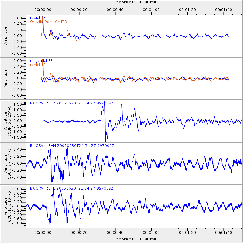
Earthquake location: Panama-Costa Rica Border Region
Earthquake latitude/longitude: 8.4/-82.9
Earthquake time(UTC): 2005/06/30 (181) 21:26:36 GMT
Earthquake Depth: 38 km
Earthquake Magnitude: 5.3 MB, 5.6 MS, 6.0 MW, 5.8 MW
Earthquake Catalog/Contributor: WHDF/NEIC
Network: BK Berkeley Digital Seismograph Network
Station: ORV Oroville Dam, CA
Lat/Lon: 39.55 N/121.50 W
Elevation: 335 m
Distance: 46.4 deg
Az: 318.177 deg
Baz: 121.428 deg
Ray Param: 0.07061088
Estimated Moho Depth: 37.25 km
Estimated Crust Vp/Vs: 1.69
Assumed Crust Vp: 6.597 km/s
Estimated Crust Vs: 3.898 km/s
Estimated Crust Poisson's Ratio: 0.23
Radial Match: 92.34084 %
Radial Bump: 400
Transverse Match: 75.10344 %
Transverse Bump: 400
SOD ConfigId: 124340
Insert Time: 2010-03-05 19:42:09.085 +0000
GWidth: 2.5
Max Bumps: 400
Tol: 0.001

Signal To Noise

ChannelStoNSTALTA
BK:ORV: :BHN:20050630T21:34:27.997009Z3.35832882.0926419E-76.2312E-8
BK:ORV: :BHE:20050630T21:34:27.997009Z4.28166533.8835447E-79.070173E-8
BK:ORV: :BHZ:20050630T21:34:27.997009Z17.0031438.300335E-74.8816474E-8
Arrivals
Ps4.2 SECOND
PpPs14 SECOND
PsPs/PpSs18 SECOND