VTV Victorville, California, USA - Earthquake Result Viewer
Earthquake location: Kermadec Islands, New Zealand
Earthquake latitude/longitude: -30.5/-178.2
Earthquake time(UTC): 2003/05/04 (124) 13:15:18 GMT
Earthquake Depth: 62 km
Earthquake Magnitude: 6.0 MB, 6.5 MS, 6.7 MW, 6.7 MW
Earthquake Catalog/Contributor: WHDF/NEIC
Network: CI Caltech Regional Seismic Network
Station: VTV Victorville, California, USA
Lat/Lon: 34.56 N/117.33 W
Elevation: 812 m
Distance: 86.5 deg
Az: 46.26 deg
Baz: 229.055 deg
Ray Param: 0.04388331
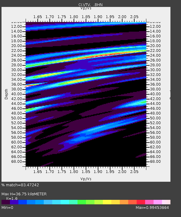
Estimated Moho Depth: 36.75 km
Estimated Crust Vp/Vs: 1.60
Assumed Crust Vp: 6.276 km/s
Estimated Crust Vs: 3.922 km/s
Estimated Crust Poisson's Ratio: 0.18
Radial Match: 83.47242 %
Radial Bump: 400
Transverse Match: 67.9215 %
Transverse Bump: 400
SOD ConfigId: 3787
Insert Time: 2010-03-05 22:17:09.417 +0000
GWidth: 2.5
Max Bumps: 400
Tol: 0.001

Signal To Noise

ChannelStoNSTALTA
CI:VTV: :BHN:20030504T13:27:23.610012Z1.32270353.6642405E-72.770266E-7
CI:VTV: :BHE:20030504T13:27:23.610012Z3.05752231.0599693E-63.4667593E-7
CI:VTV: :BHZ:20030504T13:27:23.610012Z5.436969.867267E-71.81485E-7
Arrivals
Ps3.6 SECOND
PpPs15 SECOND
PsPs/PpSs18 SECOND