232A Coleman, TX, USA - Earthquake Result Viewer
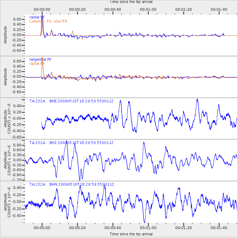
Earthquake location: Kodiak Island Region, Alaska
Earthquake latitude/longitude: 56.4/-152.4
Earthquake time(UTC): 2009/05/16 (136) 18:22:25 GMT
Earthquake Depth: 9.7 km
Earthquake Magnitude: 5.9 MS, 5.4 MB, 5.9 MW, 5.8 MW
Earthquake Catalog/Contributor: WHDF/NEIC
Network: TA USArray Transportable Network (new EarthScope stations)
Station: 232A Coleman, TX, USA
Lat/Lon: 31.89 N/99.65 W
Elevation: 621 m
Distance: 43.7 deg
Az: 101.341 deg
Baz: 320.192 deg
Ray Param: 0.07238261
Estimated Moho Depth: 38.25 km
Estimated Crust Vp/Vs: 1.88
Assumed Crust Vp: 6.498 km/s
Estimated Crust Vs: 3.465 km/s
Estimated Crust Poisson's Ratio: 0.30
Radial Match: 81.7609 %
Radial Bump: 400
Transverse Match: 67.35944 %
Transverse Bump: 400
SOD ConfigId: 2760
Insert Time: 2010-03-05 23:48:42.899 +0000
GWidth: 2.5
Max Bumps: 400
Tol: 0.001

Signal To Noise

ChannelStoNSTALTA
TA:232A: :BHZ:20090516T18:29:59.550011Z1.19947959.0644974E-87.5570256E-8
TA:232A: :BHN:20090516T18:29:59.550011Z0.67118387.951028E-81.1846275E-7
TA:232A: :BHE:20090516T18:29:59.550011Z0.791246067.453372E-89.419791E-8
Arrivals
Ps5.5 SECOND
PpPs16 SECOND
PsPs/PpSs21 SECOND