Z18A Geronimo, AZ, USA - Earthquake Result Viewer
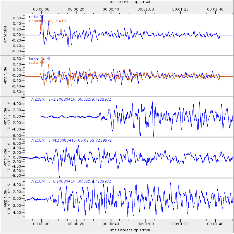
Earthquake location: Andreanof Islands, Aleutian Is.
Earthquake latitude/longitude: 51.9/-179.2
Earthquake time(UTC): 2008/04/16 (107) 05:54:19 GMT
Earthquake Depth: 13 km
Earthquake Magnitude: 6.1 MB, 6.5 MS, 6.6 MW, 6.6 MW
Earthquake Catalog/Contributor: WHDF/NEIC
Network: TA USArray Transportable Network (new EarthScope stations)
Station: Z18A Geronimo, AZ, USA
Lat/Lon: 33.09 N/110.04 W
Elevation: 812 m
Distance: 52.3 deg
Az: 82.584 deg
Baz: 312.928 deg
Ray Param: 0.06685016
Estimated Moho Depth: 32.0 km
Estimated Crust Vp/Vs: 1.76
Assumed Crust Vp: 6.276 km/s
Estimated Crust Vs: 3.556 km/s
Estimated Crust Poisson's Ratio: 0.26
Radial Match: 93.89467 %
Radial Bump: 400
Transverse Match: 87.19156 %
Transverse Bump: 400
SOD ConfigId: 2504
Insert Time: 2010-03-06 00:30:32.846 +0000
GWidth: 2.5
Max Bumps: 400
Tol: 0.001

Signal To Noise

ChannelStoNSTALTA
TA:Z18A: :BHN:20080416T06:02:59.723997Z5.59421548.6139386E-71.5397939E-7
TA:Z18A: :BHE:20080416T06:02:59.723997Z0.96885282.9240493E-73.018053E-7
TA:Z18A: :BHZ:20080416T06:02:59.723997Z2.9482795.236934E-71.7762683E-7
Arrivals
Ps4.1 SECOND
PpPs13 SECOND
PsPs/PpSs17 SECOND