W22A Albuquerque, NM, USA - Earthquake Result Viewer
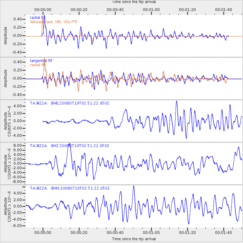
Earthquake location: Off East Coast Of Honshu, Japan
Earthquake latitude/longitude: 37.6/142.2
Earthquake time(UTC): 2008/07/19 (201) 02:39:28 GMT
Earthquake Depth: 22 km
Earthquake Magnitude: 6.2 MB, 7.0 MS, 7.0 MW, 6.9 MW
Earthquake Catalog/Contributor: WHDF/NEIC
Network: TA USArray Transportable Network (new EarthScope stations)
Station: W22A Albuquerque, NM, USA
Lat/Lon: 35.07 N/106.87 W
Elevation: 1813 m
Distance: 83.4 deg
Az: 50.465 deg
Baz: 311.643 deg
Ray Param: 0.04617165
Estimated Moho Depth: 10.0 km
Estimated Crust Vp/Vs: 1.65
Assumed Crust Vp: 6.502 km/s
Estimated Crust Vs: 3.94 km/s
Estimated Crust Poisson's Ratio: 0.21
Radial Match: 90.51195 %
Radial Bump: 400
Transverse Match: 78.580055 %
Transverse Bump: 400
SOD ConfigId: 2504
Insert Time: 2010-03-06 01:25:28.704 +0000
GWidth: 2.5
Max Bumps: 400
Tol: 0.001

Signal To Noise

ChannelStoNSTALTA
TA:W22A: :BHZ:20080719T02:51:22.950Z2.6922675.0259985E-71.8668277E-7
TA:W22A: :BHN:20080719T02:51:22.950Z0.697988152.62926E-73.7669116E-7
TA:W22A: :BHE:20080719T02:51:22.950Z0.83949052.172911E-72.588369E-7
Arrivals
Ps1.0 SECOND
PpPs4.0 SECOND
PsPs/PpSs5.0 SECOND