I06A Prineville, OR, USA - Earthquake Result Viewer
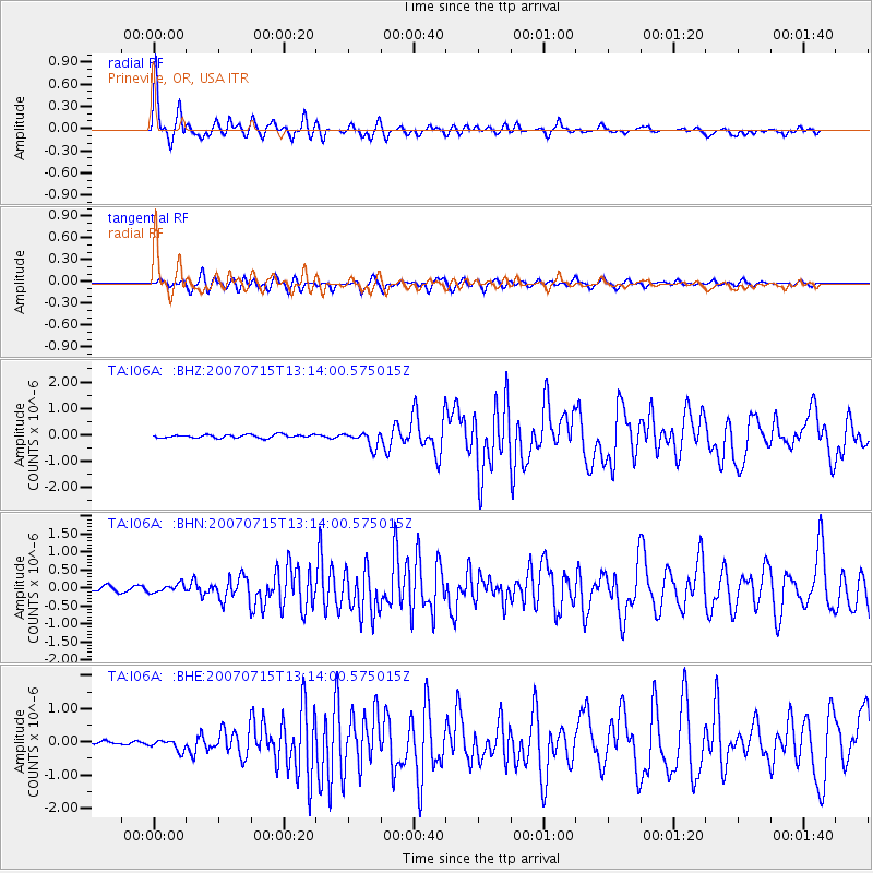
Earthquake location: Fox Islands, Aleutian Islands
Earthquake latitude/longitude: 52.5/-168.0
Earthquake time(UTC): 2007/07/15 (196) 13:08:00 GMT
Earthquake Depth: 10 km
Earthquake Magnitude: 5.8 MB, 5.9 MS, 6.1 MW, 6.0 MW
Earthquake Catalog/Contributor: WHDF/NEIC
Network: TA USArray Transportable Network (new EarthScope stations)
Station: I06A Prineville, OR, USA
Lat/Lon: 43.94 N/120.21 W
Elevation: 1297 m
Distance: 32.5 deg
Az: 85.797 deg
Baz: 302.388 deg
Ray Param: 0.07863781
Estimated Moho Depth: 34.25 km
Estimated Crust Vp/Vs: 1.71
Assumed Crust Vp: 6.597 km/s
Estimated Crust Vs: 3.864 km/s
Estimated Crust Poisson's Ratio: 0.24
Radial Match: 83.43229 %
Radial Bump: 287
Transverse Match: 74.91586 %
Transverse Bump: 342
SOD ConfigId: 2564
Insert Time: 2010-03-06 03:09:44.314 +0000
GWidth: 2.5
Max Bumps: 400
Tol: 0.001

Signal To Noise

ChannelStoNSTALTA
TA:I06A: :BHN:20070715T13:14:00.575015Z2.00936271.159023E-75.7681127E-8
TA:I06A: :BHE:20070715T13:14:00.575015Z2.5830491.5852176E-76.137002E-8
TA:I06A: :BHZ:20070715T13:14:00.575015Z4.572162.8772382E-76.292952E-8
Arrivals
Ps4.0 SECOND
PpPs13 SECOND
PsPs/PpSs17 SECOND