M07A Soldier Meadows, NV, USA - Earthquake Result Viewer
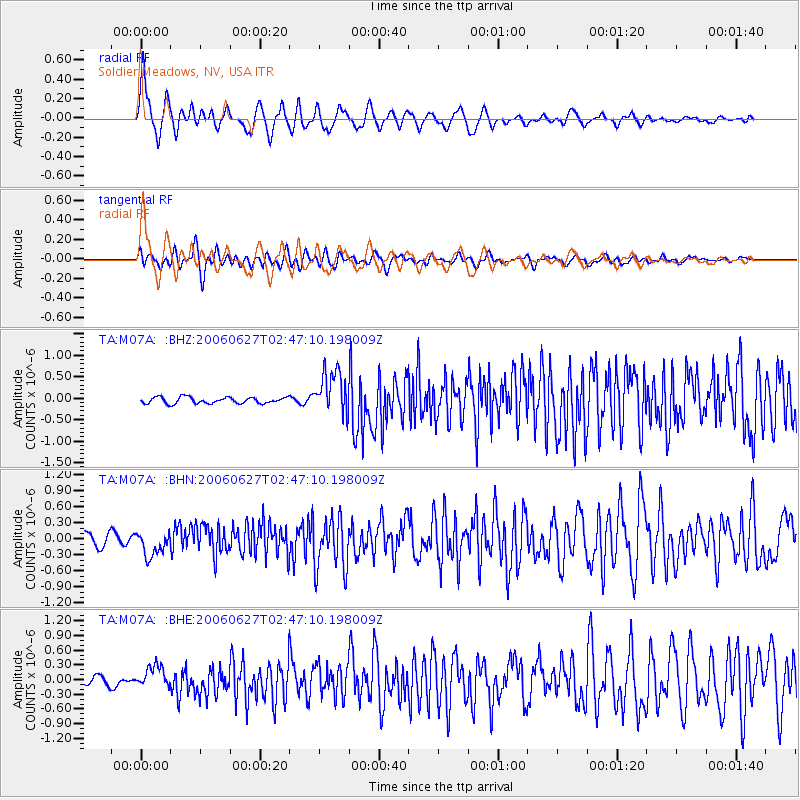
Earthquake location: Rat Islands, Aleutian Islands
Earthquake latitude/longitude: 52.2/176.2
Earthquake time(UTC): 2006/06/27 (178) 02:39:35 GMT
Earthquake Depth: 34 km
Earthquake Magnitude: 5.6 MB, 6.0 MS, 6.2 MW, 6.2 MW
Earthquake Catalog/Contributor: WHDF/NEIC
Network: TA USArray Transportable Network (new EarthScope stations)
Station: M07A Soldier Meadows, NV, USA
Lat/Lon: 41.39 N/119.17 W
Elevation: 1400 m
Distance: 44.2 deg
Az: 77.449 deg
Baz: 307.029 deg
Ray Param: 0.07202434
Estimated Moho Depth: 11.5 km
Estimated Crust Vp/Vs: 1.71
Assumed Crust Vp: 6.276 km/s
Estimated Crust Vs: 3.665 km/s
Estimated Crust Poisson's Ratio: 0.24
Radial Match: 84.60882 %
Radial Bump: 400
Transverse Match: 79.20525 %
Transverse Bump: 400
SOD ConfigId: 2665
Insert Time: 2010-03-06 03:12:36.901 +0000
GWidth: 2.5
Max Bumps: 400
Tol: 0.001

Signal To Noise

ChannelStoNSTALTA
TA:M07A: :BHN:20060627T02:47:10.198009Z2.04277232.2821325E-71.1171741E-7
TA:M07A: :BHE:20060627T02:47:10.198009Z1.41762612.181142E-71.5385876E-7
TA:M07A: :BHZ:20060627T02:47:10.198009Z7.05834775.0913513E-77.213234E-8
Arrivals
Ps1.4 SECOND
PpPs4.7 SECOND
PsPs/PpSs6.1 SECOND