F15A Butte, MT, USA - Earthquake Result Viewer
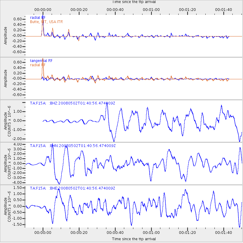
Earthquake location: Andreanof Islands, Aleutian Is.
Earthquake latitude/longitude: 51.9/-177.5
Earthquake time(UTC): 2008/05/02 (123) 01:33:37 GMT
Earthquake Depth: 14 km
Earthquake Magnitude: 6.3 MB, 6.8 MS, 6.6 MW, 6.6 MW
Earthquake Catalog/Contributor: WHDF/NEIC
Network: TA USArray Transportable Network (new EarthScope stations)
Station: F15A Butte, MT, USA
Lat/Lon: 45.84 N/112.49 W
Elevation: 1995 m
Distance: 41.9 deg
Az: 71.509 deg
Baz: 302.728 deg
Ray Param: 0.07346738
Estimated Moho Depth: 34.5 km
Estimated Crust Vp/Vs: 1.91
Assumed Crust Vp: 6.577 km/s
Estimated Crust Vs: 3.434 km/s
Estimated Crust Poisson's Ratio: 0.31
Radial Match: 93.97033 %
Radial Bump: 298
Transverse Match: 68.59047 %
Transverse Bump: 400
SOD ConfigId: 2504
Insert Time: 2010-03-06 04:53:55.681 +0000
GWidth: 2.5
Max Bumps: 400
Tol: 0.001

Signal To Noise

ChannelStoNSTALTA
TA:F15A: :BHN:20080502T01:40:56.474009Z8.2985781.0030574E-61.20871E-7
TA:F15A: :BHE:20080502T01:40:56.474009Z4.32755233.0368614E-77.0175034E-8
TA:F15A: :BHZ:20080502T01:40:56.474009Z3.6263694.230907E-71.1667062E-7
Arrivals
Ps5.1 SECOND
PpPs14 SECOND
PsPs/PpSs19 SECOND