F15A Butte, MT, USA - Earthquake Result Viewer
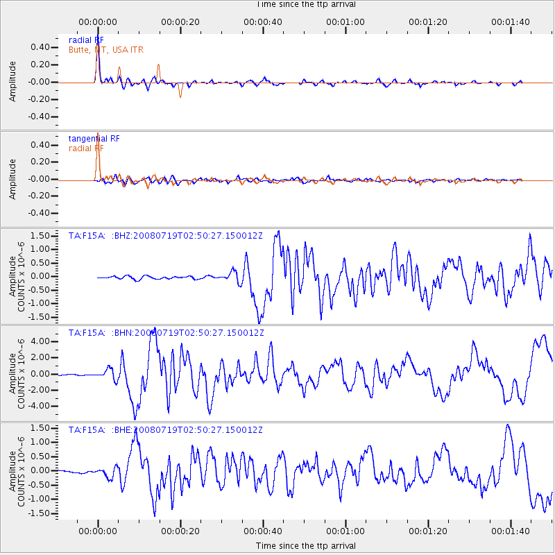
Earthquake location: Off East Coast Of Honshu, Japan
Earthquake latitude/longitude: 37.6/142.2
Earthquake time(UTC): 2008/07/19 (201) 02:39:28 GMT
Earthquake Depth: 22 km
Earthquake Magnitude: 6.2 MB, 7.0 MS, 7.0 MW, 6.9 MW
Earthquake Catalog/Contributor: WHDF/NEIC
Network: TA USArray Transportable Network (new EarthScope stations)
Station: F15A Butte, MT, USA
Lat/Lon: 45.84 N/112.49 W
Elevation: 1995 m
Distance: 73.3 deg
Az: 44.75 deg
Baz: 306.831 deg
Ray Param: 0.05307499
Estimated Moho Depth: 29.75 km
Estimated Crust Vp/Vs: 2.09
Assumed Crust Vp: 6.577 km/s
Estimated Crust Vs: 3.151 km/s
Estimated Crust Poisson's Ratio: 0.35
Radial Match: 95.82126 %
Radial Bump: 242
Transverse Match: 82.757706 %
Transverse Bump: 400
SOD ConfigId: 2504
Insert Time: 2010-03-06 04:54:25.341 +0000
GWidth: 2.5
Max Bumps: 400
Tol: 0.001

Signal To Noise

ChannelStoNSTALTA
TA:F15A: :BHN:20080719T02:50:27.150012Z9.9995946.542988E-76.543254E-8
TA:F15A: :BHE:20080719T02:50:27.150012Z4.0358371.7699934E-74.3856907E-8
TA:F15A: :BHZ:20080719T02:50:27.150012Z3.76855641.959444E-75.199455E-8
Arrivals
Ps5.1 SECOND
PpPs14 SECOND
PsPs/PpSs19 SECOND