You are here: Home > Network List > US - United States National Seismic Network Stations List
> Station EGMT Eagleton, Montana, USA > Earthquake Result Viewer
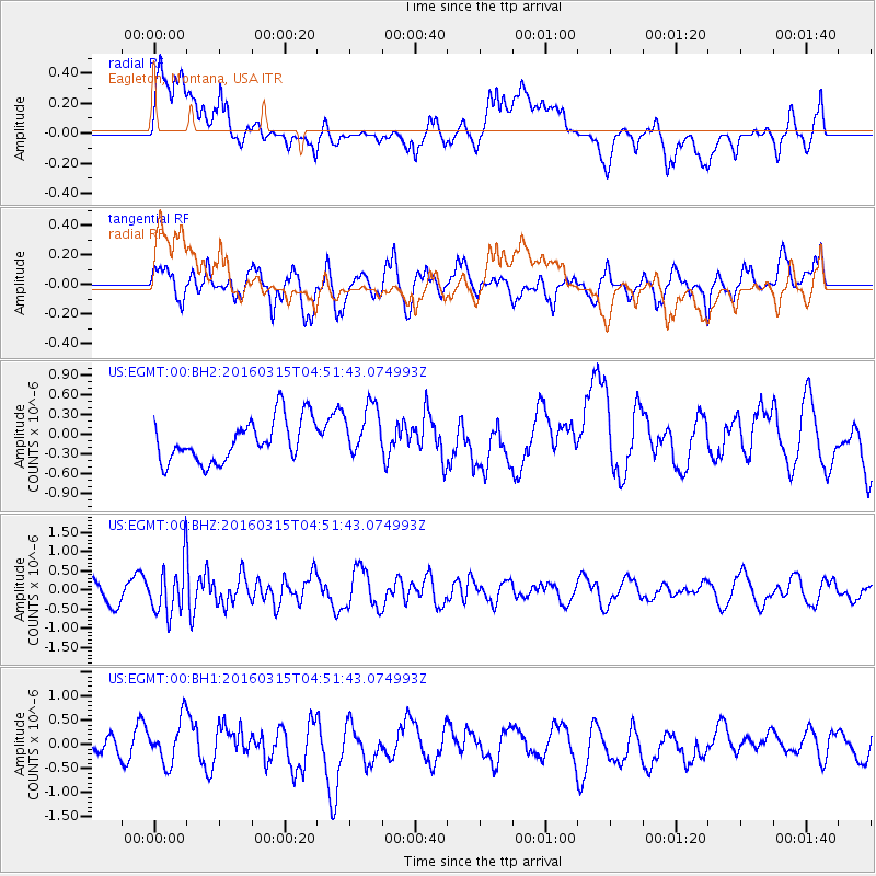
EGMT Eagleton, Montana, USA - Earthquake Result Viewer
*The percent match for this event was below the threshold and hence no stack was calculated.
| Earthquake location: |
Strait Of Gibraltar |
| Earthquake latitude/longitude: |
35.8/-3.6 |
| Earthquake time(UTC): |
2016/03/15 (075) 04:40:40 GMT |
| Earthquake Depth: |
10 km |
| Earthquake Magnitude: |
5.6 MB |
| Earthquake Catalog/Contributor: |
NEIC PDE/NEIC COMCAT |
|
| Network: |
US United States National Seismic Network |
| Station: |
EGMT Eagleton, Montana, USA |
| Lat/Lon: |
48.02 N/109.75 W |
| Elevation: |
1055 m |
|
| Distance: |
73.8 deg |
| Az: |
317.811 deg |
| Baz: |
54.459 deg |
| Ray Param: |
$rayparam |
*The percent match for this event was below the threshold and hence was not used in the summary stack. |
|
| Radial Match: |
42.03498 % |
| Radial Bump: |
400 |
| Transverse Match: |
53.013275 % |
| Transverse Bump: |
400 |
| SOD ConfigId: |
1453031 |
| Insert Time: |
2016-03-29 05:21:29.747 +0000 |
| GWidth: |
2.5 |
| Max Bumps: |
400 |
| Tol: |
0.001 |
|
Signal To Noise
| Channel | StoN | STA | LTA |
| US:EGMT:00:BHZ:20160315T04:51:43.074993Z | 2.7589283 | 6.6767586E-7 | 2.420055E-7 |
| US:EGMT:00:BH1:20160315T04:51:43.074993Z | 1.6375068 | 4.6624265E-7 | 2.8472715E-7 |
| US:EGMT:00:BH2:20160315T04:51:43.074993Z | 1.2557408 | 4.0489746E-7 | 3.2243716E-7 |
| Arrivals |
| Ps | |
| PpPs | |
| PsPs/PpSs | |


