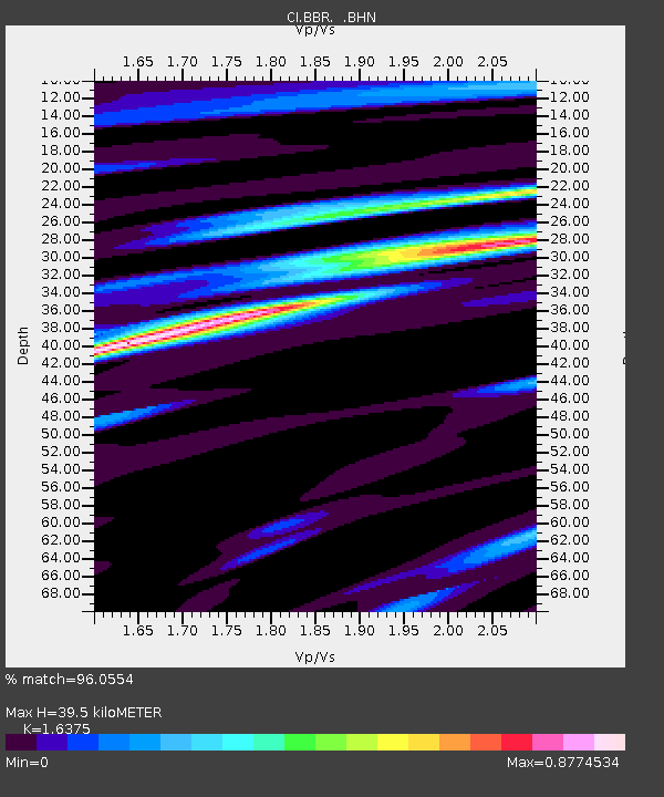
BBR Big Bear Solar Observatory - Earthquake Result Viewer

Earthquake location: Santa Cruz Islands
Earthquake latitude/longitude: -11.6/165.8
Earthquake time(UTC): 2007/09/02 (245) 01:05:18 GMT
Earthquake Depth: 35 km
Earthquake Magnitude: 5.9 MB, 7.3 MS, 7.2 MW, 6.9 ME
Earthquake Catalog/Contributor: WHDF/NEIC
Network: CI Caltech Regional Seismic Network
Station: BBR Big Bear Solar Observatory
Lat/Lon: 34.26 N/116.92 W
Elevation: 2069 m
Distance: 86.2 deg
Az: 54.075 deg
Baz: 253.334 deg
Ray Param: 0.044168305
Estimated Moho Depth: 39.5 km
Estimated Crust Vp/Vs: 1.64
Assumed Crust Vp: 6.276 km/s
Estimated Crust Vs: 3.833 km/s
Estimated Crust Poisson's Ratio: 0.20
Radial Match: 96.0554 %
Radial Bump: 389
Transverse Match: 82.37595 %
Transverse Bump: 400
SOD ConfigId: 2564
Insert Time: 2010-02-26 01:35:28.622 +0000
GWidth: 2.5
Max Bumps: 400
Tol: 0.001

Signal To Noise

ChannelStoNSTALTA
CI:BBR: :BHN:20070902T01:17:24.764014Z0.67985364.1107387E-76.046506E-7
CI:BBR: :BHE:20070902T01:17:24.764014Z2.1137481.0167362E-64.8101106E-7
CI:BBR: :BHZ:20070902T01:17:24.764014Z7.80792.6123105E-63.3457272E-7
Arrivals
Ps4.1 SECOND
PpPs16 SECOND
PsPs/PpSs20 SECOND