B13A Whitefish, MT, USA - Earthquake Result Viewer
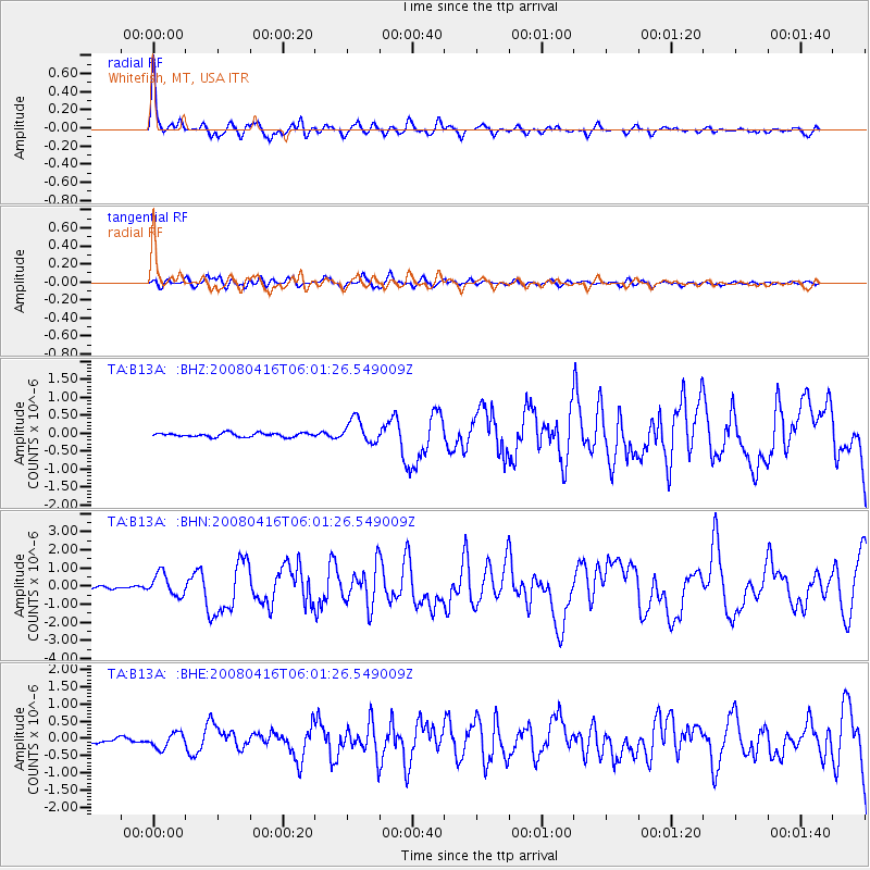
Earthquake location: Andreanof Islands, Aleutian Is.
Earthquake latitude/longitude: 51.9/-179.2
Earthquake time(UTC): 2008/04/16 (107) 05:54:19 GMT
Earthquake Depth: 13 km
Earthquake Magnitude: 6.1 MB, 6.5 MS, 6.6 MW, 6.6 MW
Earthquake Catalog/Contributor: WHDF/NEIC
Network: TA USArray Transportable Network (new EarthScope stations)
Station: B13A Whitefish, MT, USA
Lat/Lon: 48.37 N/114.47 W
Elevation: 933 m
Distance: 40.4 deg
Az: 68.423 deg
Baz: 300.166 deg
Ray Param: 0.07441236
Estimated Moho Depth: 43.75 km
Estimated Crust Vp/Vs: 1.60
Assumed Crust Vp: 6.622 km/s
Estimated Crust Vs: 4.139 km/s
Estimated Crust Poisson's Ratio: 0.18
Radial Match: 93.05911 %
Radial Bump: 387
Transverse Match: 77.36168 %
Transverse Bump: 400
SOD ConfigId: 2504
Insert Time: 2010-03-06 06:47:26.171 +0000
GWidth: 2.5
Max Bumps: 400
Tol: 0.001

Signal To Noise

ChannelStoNSTALTA
TA:B13A: :BHN:20080416T06:01:26.549009Z8.0998796.046804E-77.4653016E-8
TA:B13A: :BHE:20080416T06:01:26.549009Z2.50432922.1657613E-78.6480696E-8
TA:B13A: :BHZ:20080416T06:01:26.549009Z5.9703283.2892572E-75.5093412E-8
Arrivals
Ps4.3 SECOND
PpPs16 SECOND
PsPs/PpSs20 SECOND