You are here: Home > Network List > TA - USArray Transportable Network (new EarthScope stations) Stations List
> Station J26L Joseph Creek, AK, USA > Earthquake Result Viewer
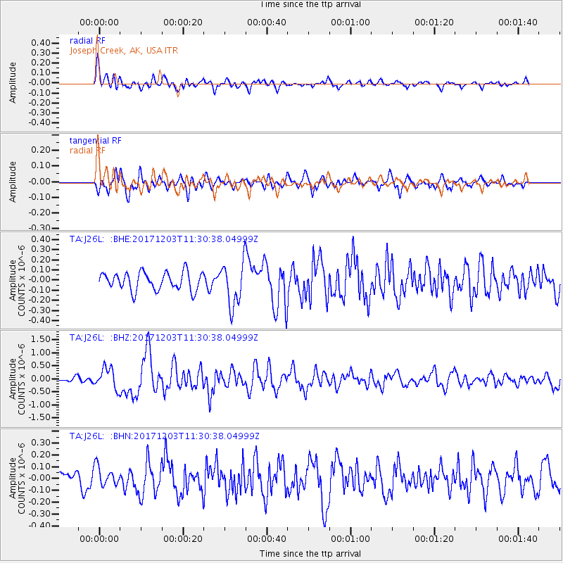
J26L Joseph Creek, AK, USA - Earthquake Result Viewer
*The percent match for this event was below the threshold and hence no stack was calculated.
| Earthquake location: |
Near Coast Of Ecuador |
| Earthquake latitude/longitude: |
-0.5/-80.3 |
| Earthquake time(UTC): |
2017/12/03 (337) 11:19:06 GMT |
| Earthquake Depth: |
25 km |
| Earthquake Magnitude: |
6.0 Mww |
| Earthquake Catalog/Contributor: |
NEIC PDE/us |
|
| Network: |
TA USArray Transportable Network (new EarthScope stations) |
| Station: |
J26L Joseph Creek, AK, USA |
| Lat/Lon: |
64.50 N/143.56 W |
| Elevation: |
1144 m |
|
| Distance: |
79.2 deg |
| Az: |
336.823 deg |
| Baz: |
114.6 deg |
| Ray Param: |
$rayparam |
*The percent match for this event was below the threshold and hence was not used in the summary stack. |
|
| Radial Match: |
70.199844 % |
| Radial Bump: |
400 |
| Transverse Match: |
71.45352 % |
| Transverse Bump: |
400 |
| SOD ConfigId: |
13570011 |
| Insert Time: |
2019-04-29 08:58:22.669 +0000 |
| GWidth: |
2.5 |
| Max Bumps: |
400 |
| Tol: |
0.001 |
|
Signal To Noise
| Channel | StoN | STA | LTA |
| TA:J26L: :BHZ:20171203T11:30:38.04999Z | 3.2326024 | 4.0899266E-7 | 1.2652117E-7 |
| TA:J26L: :BHN:20171203T11:30:38.04999Z | 0.8718908 | 7.909842E-8 | 9.072056E-8 |
| TA:J26L: :BHE:20171203T11:30:38.04999Z | 2.654901 | 2.3489294E-7 | 8.847521E-8 |
| Arrivals |
| Ps | |
| PpPs | |
| PsPs/PpSs | |


