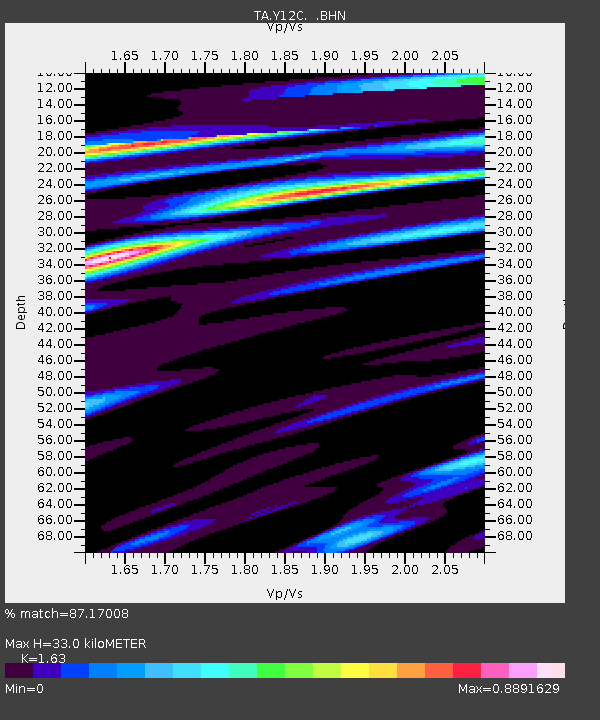
Y12C Blythe, CA, USA - Earthquake Result Viewer

Earthquake location: Rat Islands, Aleutian Islands
Earthquake latitude/longitude: 51.8/177.1
Earthquake time(UTC): 2006/06/14 (165) 04:18:42 GMT
Earthquake Depth: 14 km
Earthquake Magnitude: 5.9 MB, 6.4 MS, 6.4 MW, 6.4 MW
Earthquake Catalog/Contributor: WHDF/NEIC
Network: TA USArray Transportable Network (new EarthScope stations)
Station: Y12C Blythe, CA, USA
Lat/Lon: 33.75 N/114.52 W
Elevation: 196 m
Distance: 51.4 deg
Az: 82.394 deg
Baz: 312.309 deg
Ray Param: 0.067428805
Estimated Moho Depth: 33.0 km
Estimated Crust Vp/Vs: 1.63
Assumed Crust Vp: 6.155 km/s
Estimated Crust Vs: 3.776 km/s
Estimated Crust Poisson's Ratio: 0.20
Radial Match: 87.17008 %
Radial Bump: 400
Transverse Match: 70.37358 %
Transverse Bump: 400
SOD ConfigId: 5745
Insert Time: 2010-03-06 09:11:47.106 +0000
GWidth: 2.5
Max Bumps: 400
Tol: 0.001

Signal To Noise

ChannelStoNSTALTA
TA:Y12C: :BHN:20060614T04:27:15.79302Z1.72919861.4854058E-78.59014E-8
TA:Y12C: :BHE:20060614T04:27:15.79302Z2.4006922.0929116E-78.7179515E-8
TA:Y12C: :BHZ:20060614T04:27:15.79302Z5.1356884.6747883E-79.1025555E-8
Arrivals
Ps3.6 SECOND
PpPs13 SECOND
PsPs/PpSs17 SECOND