P15A Leamington, UT, USA - Earthquake Result Viewer
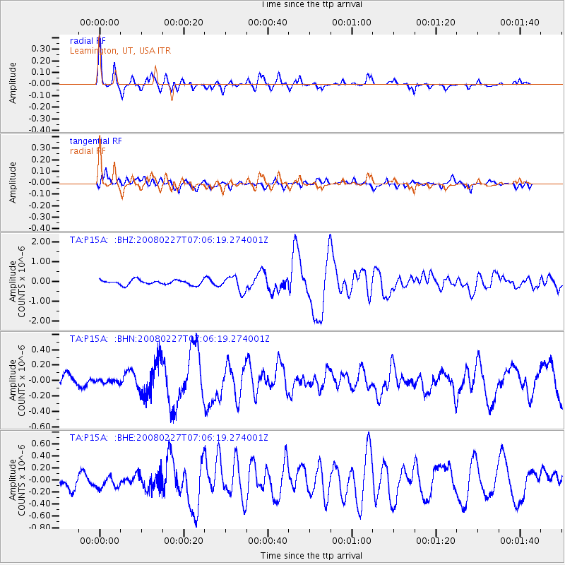
Earthquake location: Bonin Islands, Japan Region
Earthquake latitude/longitude: 26.8/142.4
Earthquake time(UTC): 2008/02/27 (058) 06:54:20 GMT
Earthquake Depth: 15 km
Earthquake Magnitude: 5.8 MB, 6.1 MS, 6.2 MW, 6.2 MW
Earthquake Catalog/Contributor: WHDF/NEIC
Network: TA USArray Transportable Network (new EarthScope stations)
Station: P15A Leamington, UT, USA
Lat/Lon: 39.57 N/112.28 W
Elevation: 1576 m
Distance: 84.1 deg
Az: 48.552 deg
Baz: 299.929 deg
Ray Param: 0.0457043
Estimated Moho Depth: 25.25 km
Estimated Crust Vp/Vs: 1.84
Assumed Crust Vp: 6.276 km/s
Estimated Crust Vs: 3.415 km/s
Estimated Crust Poisson's Ratio: 0.29
Radial Match: 82.79947 %
Radial Bump: 359
Transverse Match: 76.8472 %
Transverse Bump: 400
SOD ConfigId: 2564
Insert Time: 2010-03-06 10:26:18.561 +0000
GWidth: 2.5
Max Bumps: 400
Tol: 0.001

Signal To Noise

ChannelStoNSTALTA
TA:P15A: :BHN:20080227T07:06:19.274001Z0.23351882.4095954E-81.0318636E-7
TA:P15A: :BHE:20080227T07:06:19.274001Z1.2024381.3087065E-71.0883775E-7
TA:P15A: :BHZ:20080227T07:06:19.274001Z3.31174663.9519801E-71.193322E-7
Arrivals
Ps3.4 SECOND
PpPs11 SECOND
PsPs/PpSs15 SECOND