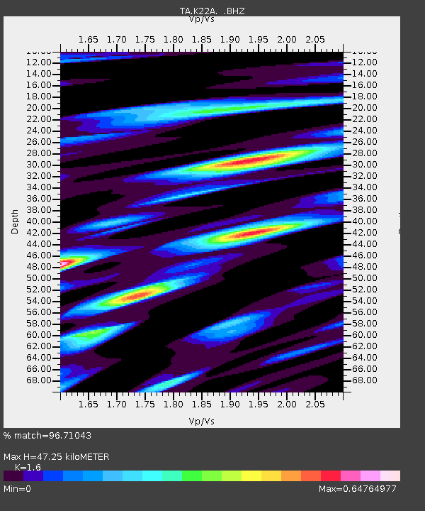
K22A Casper, WY, USA - Earthquake Result Viewer

Earthquake location: Off East Coast Of Honshu, Japan
Earthquake latitude/longitude: 37.6/142.2
Earthquake time(UTC): 2008/07/19 (201) 02:39:28 GMT
Earthquake Depth: 22 km
Earthquake Magnitude: 6.2 MB, 7.0 MS, 7.0 MW, 6.9 MW
Earthquake Catalog/Contributor: WHDF/NEIC
Network: TA USArray Transportable Network (new EarthScope stations)
Station: K22A Casper, WY, USA
Lat/Lon: 42.65 N/106.52 W
Elevation: 1686 m
Distance: 78.6 deg
Az: 44.531 deg
Baz: 310.932 deg
Ray Param: 0.049485456
Estimated Moho Depth: 47.25 km
Estimated Crust Vp/Vs: 1.60
Assumed Crust Vp: 6.178 km/s
Estimated Crust Vs: 3.861 km/s
Estimated Crust Poisson's Ratio: 0.18
Radial Match: 96.71043 %
Radial Bump: 321
Transverse Match: 90.8578 %
Transverse Bump: 400
SOD ConfigId: 2504
Insert Time: 2010-03-06 10:56:37.508 +0000
GWidth: 2.5
Max Bumps: 400
Tol: 0.001

Signal To Noise

ChannelStoNSTALTA
TA:K22A: :BHZ:20080719T02:50:57.475024Z12.2476479.149985E-77.4708105E-8
TA:K22A: :BHN:20080719T02:50:57.475024Z4.6992823.2445655E-76.904386E-8
TA:K22A: :BHE:20080719T02:50:57.475024Z4.14506242.2288054E-75.3770126E-8
Arrivals
Ps4.7 SECOND
PpPs19 SECOND
PsPs/PpSs24 SECOND