MA2 Magadan, Russia - Earthquake Result Viewer
Earthquake location: Southern Sumatra, Indonesia
Earthquake latitude/longitude: -2.1/100.7
Earthquake time(UTC): 2016/06/01 (153) 22:56:00 GMT
Earthquake Depth: 50 km
Earthquake Magnitude: 6.6 MWW, 6.4 MWB, 6.6 MWC, 6.7 MWC
Earthquake Catalog/Contributor: NEIC PDE/NEIC COMCAT
Network: IU Global Seismograph Network (GSN - IRIS/USGS)
Station: MA2 Magadan, Russia
Lat/Lon: 59.58 N/150.77 E
Elevation: 339 m
Distance: 72.8 deg
Az: 24.119 deg
Baz: 233.361 deg
Ray Param: 0.053300474
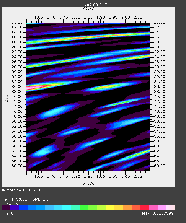
Estimated Moho Depth: 36.25 km
Estimated Crust Vp/Vs: 1.60
Assumed Crust Vp: 6.134 km/s
Estimated Crust Vs: 3.834 km/s
Estimated Crust Poisson's Ratio: 0.18
Radial Match: 95.93678 %
Radial Bump: 400
Transverse Match: 90.78942 %
Transverse Bump: 400
SOD ConfigId: 1609551
Insert Time: 2016-06-22 14:47:40.841 +0000
GWidth: 2.5
Max Bumps: 400
Tol: 0.001

Signal To Noise

ChannelStoNSTALTA
IU:MA2:00:BHZ:20160601T23:06:53.418992Z69.8596956.8581594E-69.8170474E-8
IU:MA2:00:BH1:20160601T23:06:53.418992Z13.9171411.450818E-61.04246844E-7
IU:MA2:00:BH2:20160601T23:06:53.418992Z18.7812771.9393763E-61.0326115E-7
Arrivals
Ps3.7 SECOND
PpPs15 SECOND
PsPs/PpSs19 SECOND