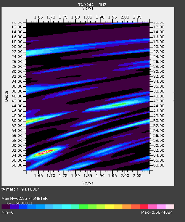
Y24A Capitan, NM, USA - Earthquake Result Viewer

Earthquake location: Off East Coast Of Honshu, Japan
Earthquake latitude/longitude: 37.6/142.2
Earthquake time(UTC): 2008/07/19 (201) 02:39:28 GMT
Earthquake Depth: 22 km
Earthquake Magnitude: 6.2 MB, 7.0 MS, 7.0 MW, 6.9 MW
Earthquake Catalog/Contributor: WHDF/NEIC
Network: TA USArray Transportable Network (new EarthScope stations)
Station: Y24A Capitan, NM, USA
Lat/Lon: 33.93 N/105.44 W
Elevation: 1827 m
Distance: 85.1 deg
Az: 50.523 deg
Baz: 312.456 deg
Ray Param: 0.04500417
Estimated Moho Depth: 62.25 km
Estimated Crust Vp/Vs: 1.68
Assumed Crust Vp: 6.232 km/s
Estimated Crust Vs: 3.709 km/s
Estimated Crust Poisson's Ratio: 0.23
Radial Match: 94.18804 %
Radial Bump: 400
Transverse Match: 72.35997 %
Transverse Bump: 400
SOD ConfigId: 2504
Insert Time: 2010-03-06 13:46:45.109 +0000
GWidth: 2.5
Max Bumps: 400
Tol: 0.001

Signal To Noise

ChannelStoNSTALTA
TA:Y24A: :BHZ:20080719T02:51:31.249011Z2.10286452.8954116E-71.3768893E-7
TA:Y24A: :BHN:20080719T02:51:31.249011Z1.36375568.8501196E-86.4895204E-8
TA:Y24A: :BHE:20080719T02:51:31.249011Z1.66904831.0890831E-76.525174E-8
Arrivals
Ps7.0 SECOND
PpPs26 SECOND
PsPs/PpSs33 SECOND