C14A Swan Lake, MT, USA - Earthquake Result Viewer
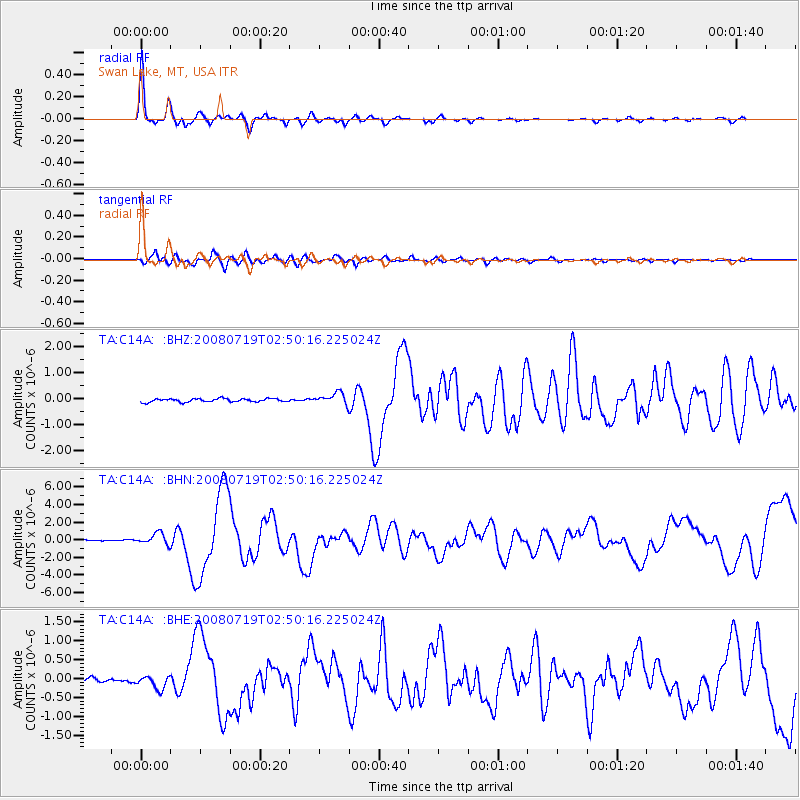
Earthquake location: Off East Coast Of Honshu, Japan
Earthquake latitude/longitude: 37.6/142.2
Earthquake time(UTC): 2008/07/19 (201) 02:39:28 GMT
Earthquake Depth: 22 km
Earthquake Magnitude: 6.2 MB, 7.0 MS, 7.0 MW, 6.9 MW
Earthquake Catalog/Contributor: WHDF/NEIC
Network: TA USArray Transportable Network (new EarthScope stations)
Station: C14A Swan Lake, MT, USA
Lat/Lon: 47.77 N/113.75 W
Elevation: 1173 m
Distance: 71.5 deg
Az: 43.651 deg
Baz: 305.587 deg
Ray Param: 0.054288223
Estimated Moho Depth: 31.5 km
Estimated Crust Vp/Vs: 1.91
Assumed Crust Vp: 6.353 km/s
Estimated Crust Vs: 3.322 km/s
Estimated Crust Poisson's Ratio: 0.31
Radial Match: 96.801605 %
Radial Bump: 298
Transverse Match: 78.87172 %
Transverse Bump: 400
SOD ConfigId: 2504
Insert Time: 2010-03-06 13:59:20.814 +0000
GWidth: 2.5
Max Bumps: 400
Tol: 0.001

Signal To Noise

ChannelStoNSTALTA
TA:C14A: :BHN:20080719T02:50:16.225024Z12.171716.44564E-75.295591E-8
TA:C14A: :BHE:20080719T02:50:16.225024Z3.61491871.7791095E-74.9215753E-8
TA:C14A: :BHZ:20080719T02:50:16.225024Z3.45247842.2154391E-76.416953E-8
Arrivals
Ps4.7 SECOND
PpPs14 SECOND
PsPs/PpSs19 SECOND