Z14A Wintersburg, AZ, USA - Earthquake Result Viewer
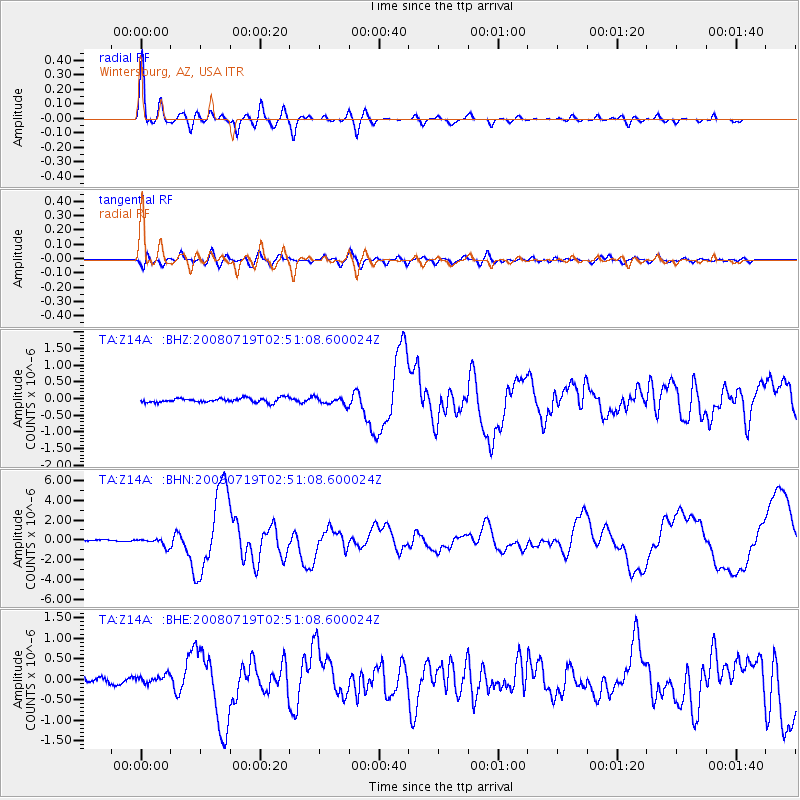
Earthquake location: Off East Coast Of Honshu, Japan
Earthquake latitude/longitude: 37.6/142.2
Earthquake time(UTC): 2008/07/19 (201) 02:39:28 GMT
Earthquake Depth: 22 km
Earthquake Magnitude: 6.2 MB, 7.0 MS, 7.0 MW, 6.9 MW
Earthquake Catalog/Contributor: WHDF/NEIC
Network: TA USArray Transportable Network (new EarthScope stations)
Station: Z14A Wintersburg, AZ, USA
Lat/Lon: 33.36 N/112.95 W
Elevation: 298 m
Distance: 80.7 deg
Az: 55.064 deg
Baz: 308.874 deg
Ray Param: 0.048086077
Estimated Moho Depth: 32.5 km
Estimated Crust Vp/Vs: 1.62
Assumed Crust Vp: 6.264 km/s
Estimated Crust Vs: 3.878 km/s
Estimated Crust Poisson's Ratio: 0.19
Radial Match: 94.94574 %
Radial Bump: 400
Transverse Match: 78.895164 %
Transverse Bump: 400
SOD ConfigId: 2504
Insert Time: 2010-03-06 17:43:53.414 +0000
GWidth: 2.5
Max Bumps: 400
Tol: 0.001

Signal To Noise

ChannelStoNSTALTA
TA:Z14A: :BHN:20080719T02:51:08.600024Z3.56177743.8890437E-71.0918829E-7
TA:Z14A: :BHE:20080719T02:51:08.600024Z1.2043559.378029E-87.786764E-8
TA:Z14A: :BHZ:20080719T02:51:08.600024Z1.70165251.0899287E-76.405119E-8
Arrivals
Ps3.3 SECOND
PpPs13 SECOND
PsPs/PpSs16 SECOND