Z14A Wintersburg, AZ, USA - Earthquake Result Viewer
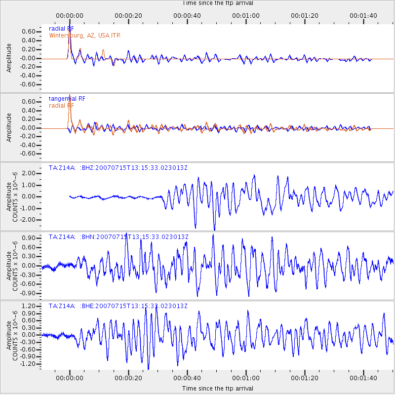
Earthquake location: Fox Islands, Aleutian Islands
Earthquake latitude/longitude: 52.5/-168.0
Earthquake time(UTC): 2007/07/15 (196) 13:08:00 GMT
Earthquake Depth: 10 km
Earthquake Magnitude: 5.8 MB, 5.9 MS, 6.1 MW, 6.0 MW
Earthquake Catalog/Contributor: WHDF/NEIC
Network: TA USArray Transportable Network (new EarthScope stations)
Station: Z14A Wintersburg, AZ, USA
Lat/Lon: 33.36 N/112.95 W
Elevation: 298 m
Distance: 43.5 deg
Az: 93.67 deg
Baz: 313.17 deg
Ray Param: 0.07254067
Estimated Moho Depth: 26.25 km
Estimated Crust Vp/Vs: 1.84
Assumed Crust Vp: 6.264 km/s
Estimated Crust Vs: 3.413 km/s
Estimated Crust Poisson's Ratio: 0.29
Radial Match: 93.22081 %
Radial Bump: 391
Transverse Match: 85.37464 %
Transverse Bump: 400
SOD ConfigId: 2564
Insert Time: 2010-03-06 17:45:20.386 +0000
GWidth: 2.5
Max Bumps: 400
Tol: 0.001

Signal To Noise

ChannelStoNSTALTA
TA:Z14A: :BHN:20070715T13:15:33.023013Z2.64124971.4384214E-75.4459882E-8
TA:Z14A: :BHE:20070715T13:15:33.023013Z3.20356131.9592471E-76.115841E-8
TA:Z14A: :BHZ:20070715T13:15:33.023013Z6.18053964.4582572E-77.213379E-8
Arrivals
Ps3.7 SECOND
PpPs11 SECOND
PsPs/PpSs15 SECOND