Z14A Wintersburg, AZ, USA - Earthquake Result Viewer
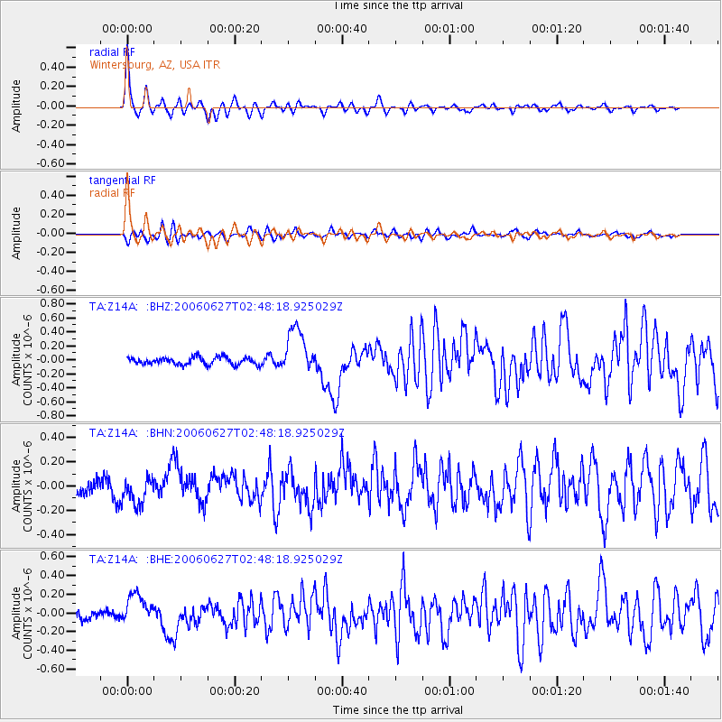
Earthquake location: Rat Islands, Aleutian Islands
Earthquake latitude/longitude: 52.2/176.2
Earthquake time(UTC): 2006/06/27 (178) 02:39:35 GMT
Earthquake Depth: 34 km
Earthquake Magnitude: 5.6 MB, 6.0 MS, 6.2 MW, 6.2 MW
Earthquake Catalog/Contributor: WHDF/NEIC
Network: TA USArray Transportable Network (new EarthScope stations)
Station: Z14A Wintersburg, AZ, USA
Lat/Lon: 33.36 N/112.95 W
Elevation: 298 m
Distance: 53.1 deg
Az: 81.322 deg
Baz: 313.371 deg
Ray Param: 0.06625171
Estimated Moho Depth: 27.5 km
Estimated Crust Vp/Vs: 1.77
Assumed Crust Vp: 6.264 km/s
Estimated Crust Vs: 3.534 km/s
Estimated Crust Poisson's Ratio: 0.27
Radial Match: 86.577034 %
Radial Bump: 343
Transverse Match: 75.163475 %
Transverse Bump: 400
SOD ConfigId: 2665
Insert Time: 2010-03-06 17:48:25.873 +0000
GWidth: 2.5
Max Bumps: 400
Tol: 0.001

Signal To Noise

ChannelStoNSTALTA
TA:Z14A: :BHN:20060627T02:48:18.925029Z1.91317561.1292958E-75.9027293E-8
TA:Z14A: :BHE:20060627T02:48:18.925029Z2.48311071.6228785E-76.535667E-8
TA:Z14A: :BHZ:20060627T02:48:18.925029Z6.23418243.320549E-75.326358E-8
Arrivals
Ps3.6 SECOND
PpPs12 SECOND
PsPs/PpSs15 SECOND